Brilliant!
Category Archives: Random
Hoot, I say! Hoot! Hoot!
Sunday’s forecast calls for rain, so when I was about to leave to run errands this afternoon, I decided to take Sweet Potato with me and head up to Black Hills Park in Boyds. That way, even if she can’t run around the yard tomorrow, at least she’ll have been able to spend a few hours outdoors this weekend.
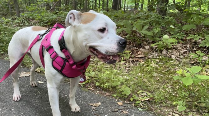
We usually follow the path around the park’s main loop, that’s good for three miles and, depending on how much time she spends sniffing, is generally something we can complete in about an hour.
About a third of the way through the walk, I heard a sort of “whooping” sound, so loud that I thought it might be a human trying to imitate a bird call. About 15 seconds later, I heard a similar call in the distance. The calls repeated periodically and realizing it might just be the first time I’ve ever heard an owl in the wild, I quickly recorded the video below. There’s really not much to see in the video, but you can hear the hooting.
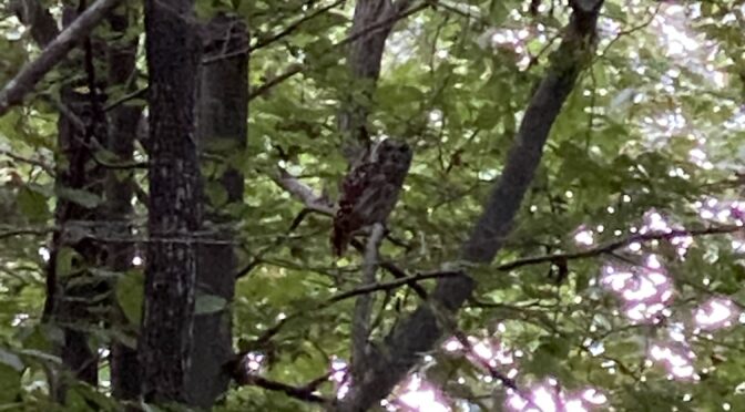
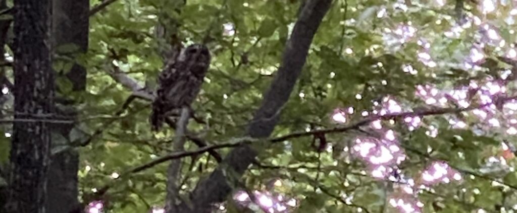
Looking toward the apparent source of the sound, I spotted “something” in a tree. Maybe a bird, maybe a squirrel’s nest. I cranked the phone’s digital zoom to the max (I really need to carry something with better optical zoom on these trips) and took a photo of what I’m told is a barred owl.
I made one more attempt at recording audio and if you carefully watch the middle-right section of the video, you can see the owl flying off, presumably to find the other owl.
Smiling Happy Trees
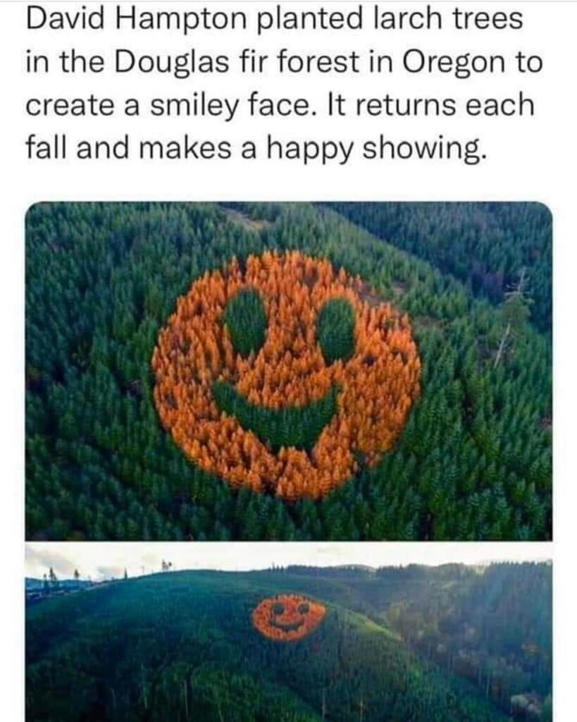
A friend recently shared a meme claiming that someone in Oregon had planted a combination of trees in a pine forest laid out so that every fall some of the trees change colors would create a smiley face.
My friend wondered if this might be real (a fair question in today’s world) and the answer appears to be that yes, it is indeed real. (Yay!)
It seems the David Hampton in question is the owner of Hampton Lumber and this is something he and his timberland manager came up with in 2011. If all goes well, this should be visible every fall for another 30 to 50 years.
So yay for a company showing a sense of humor in their efforts to be sustainable.
Lunar Watermelons
My friend Anna recently asked the somewhat random question:
How many watermelons would it take to equal the volume of the moon?
As a fan of Randal Munroe’s “What If?” articles, I felt compelled to take a shot at answering this question.
According to watermelon.org, there are over 1,200 varieties of watermelon grown in 96 countries. That’s a lot of variation; in order to make this simple, we’re going to use a single variety of watermelon as representative of the entire group. To be more scientifically robust, it would be better to gather information on a larger number of watermelon varieties and calculate an average from there.
I look forward to receiving a grant in order to refine this research accordingly.
According to gardening site Harvest to Table, the “Bush Charleston Gray” watermelon is a popular choice for home gardens, so we’ll use that as our “standard” watermelon if for no other reason than it was first on the page. (See previous comments about needing a wider sample, I look forward to funding.)
Continuing to cite random sources in order to look scholarly, the Everwilde Farms page for Charleston Gray Watermelon seeds says this variety can grow up 24″ long and 10″ wide, or about 60 centimeters by 25 centimeters.
The volume of a cylinder is calculated by the formula
V = π x radius2 x lengthThat tells us the volume of our “standard watermelon” is approximately 117,750 cubic centimeters, or 0.11775 cubic meters. (A watermelon isn’t a perfect cylinder, but at the scale we’re talking about, this is pretty much a wash.)
According to NASA (because who else are you gonna trust for space stuff?), the volume of Earth’s moon is 10^10 cubic kilometers, or 10^19 cubic meters.
So, one moon at 10^19 cubic meters, divided by one watermelon at .011775 cubic meters is roughly 84,925,690,000,000,000,000 watermelons to equal the volume of of one moon.
I suggest you try not to eat it all at once.
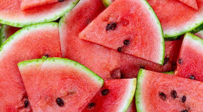
(Watermelon image via flickr user Marco Verch/wuestenigel, used under Creative Commons Attribution 2.0 Generic)
Dog Mountain Road Trip – Day Eight (June 6, 2022)
Last day before I go back to work. (Though based on phone calls and texts, some of my co-workers apparently missed the memo and expected me back today. Whoops!)
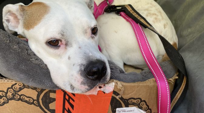
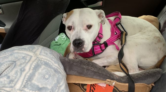
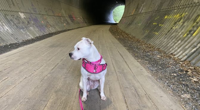
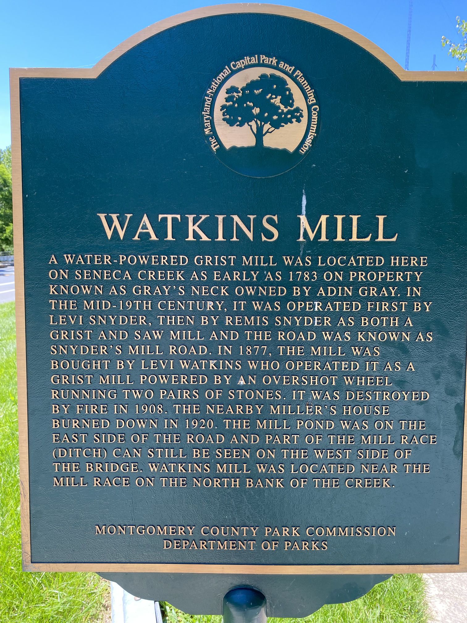
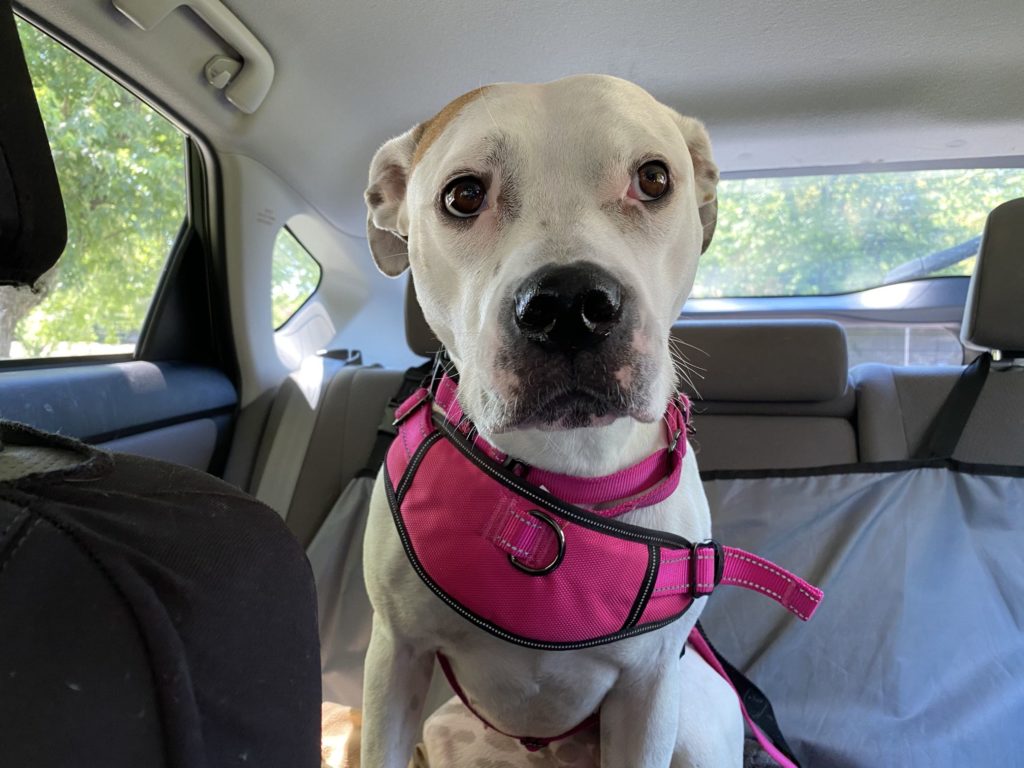
Today, Sweet Potato and I decided to explore a new (to us) trail – the section of the Greenway Trail running from Watkins Mill Road to Brink Road through the Great Seneca Stream Valley Park. And so, Sweet Potato jumped into the back seat of the car, curled up in “the potato bin” (a box with several blankets and a small dog bed for cushioning) and off we went.
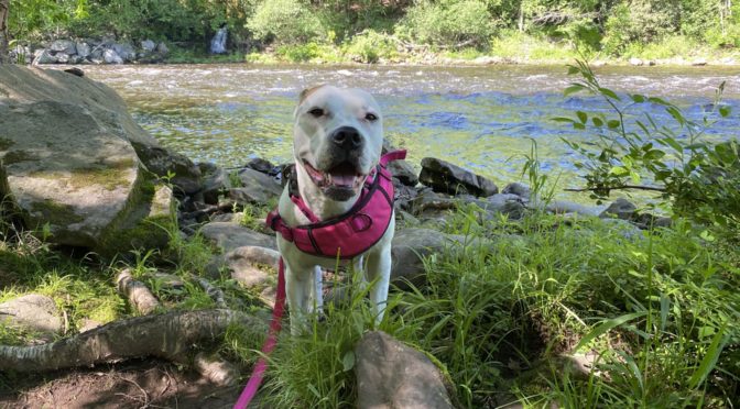
We started at the Watkins Mill end and took our time, making the 2.8 mile round trip in about 90 minutes.

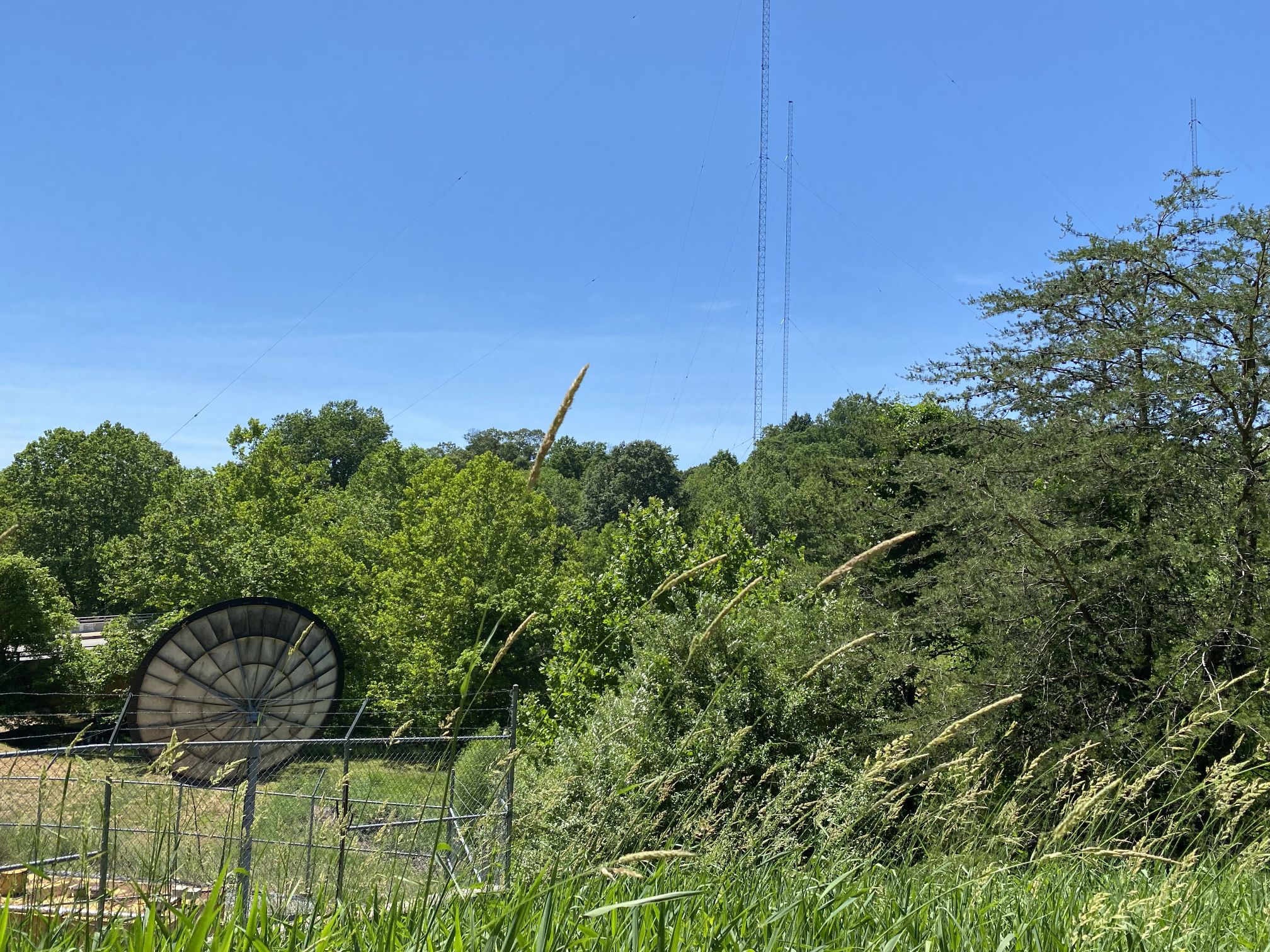
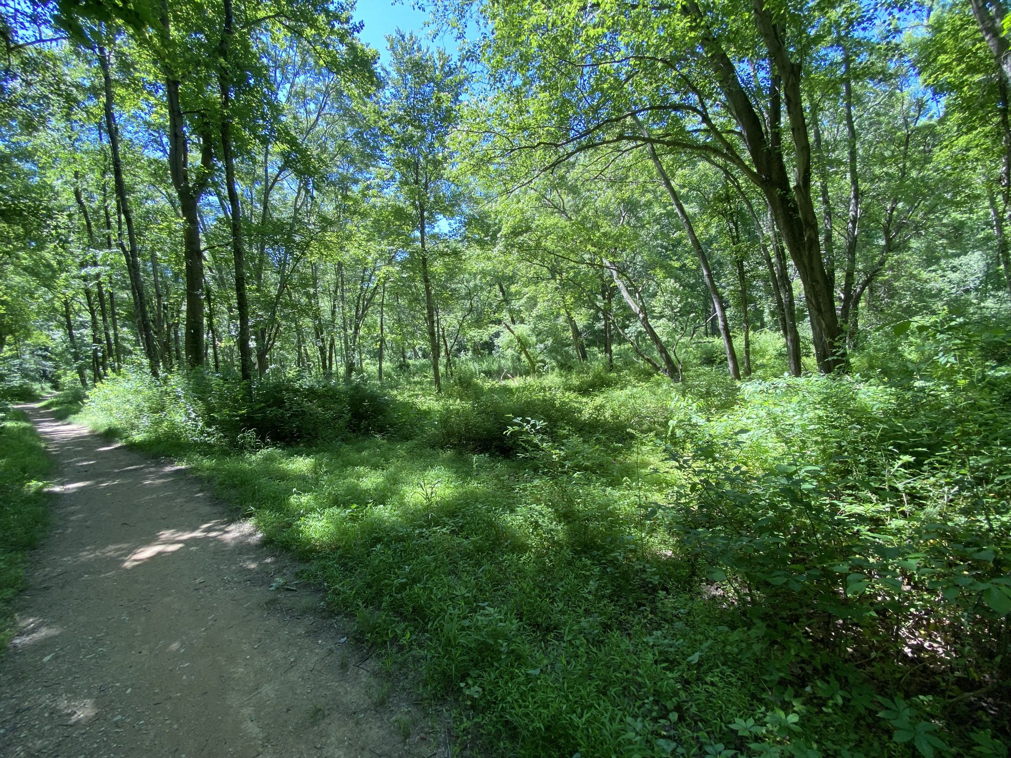
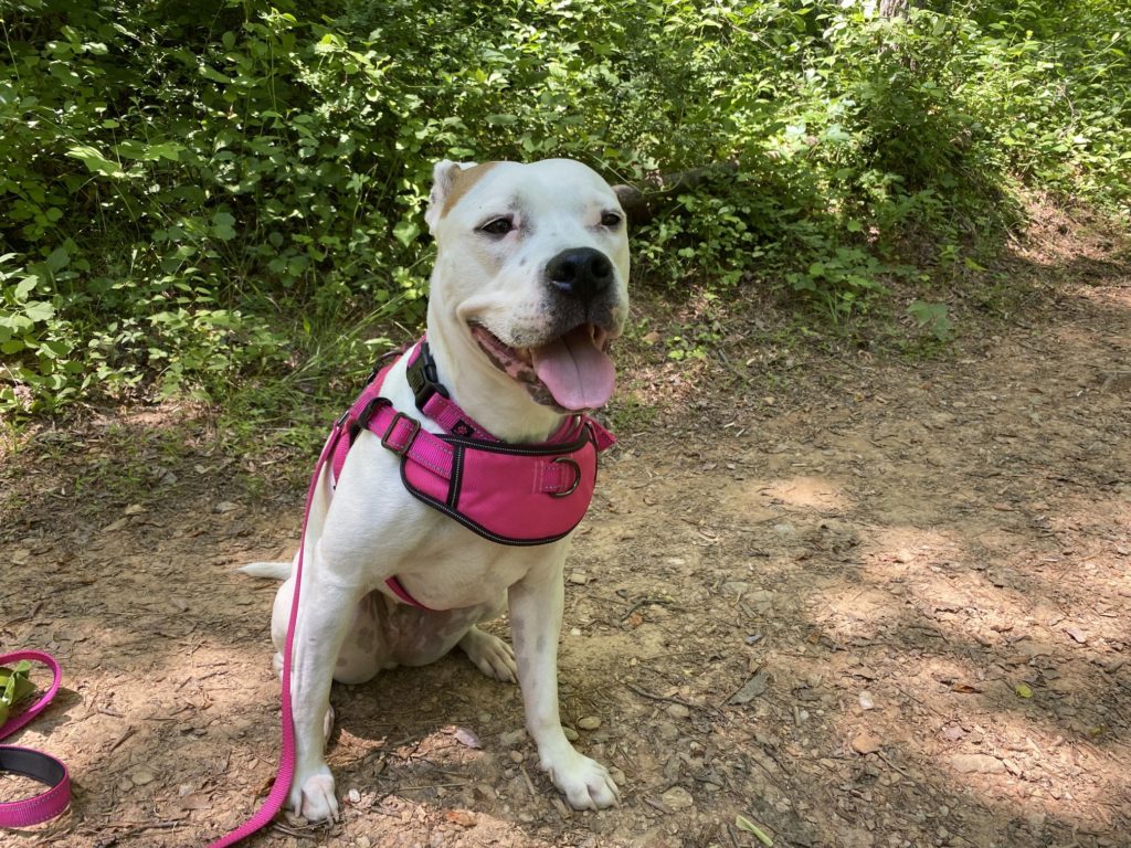
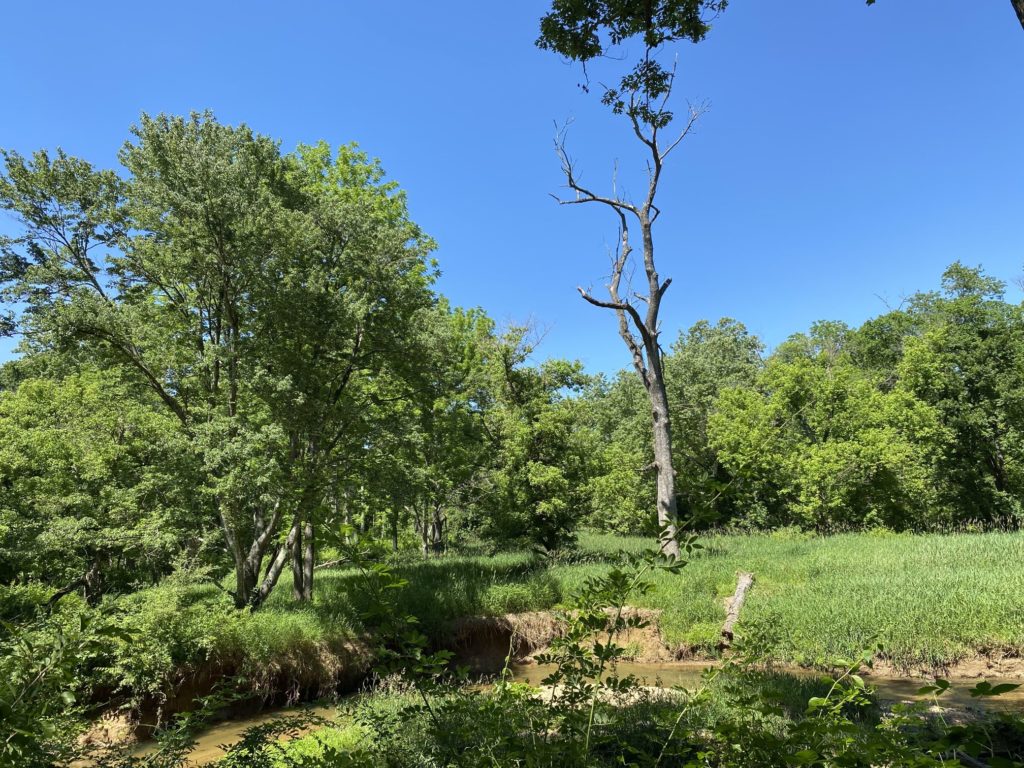
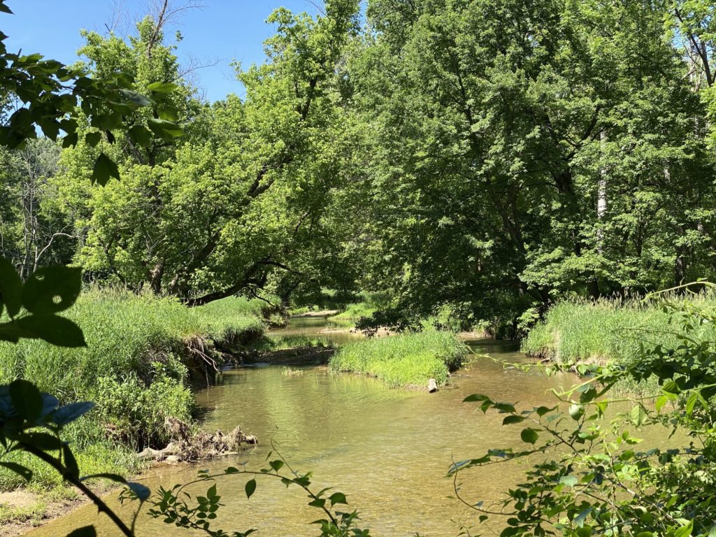
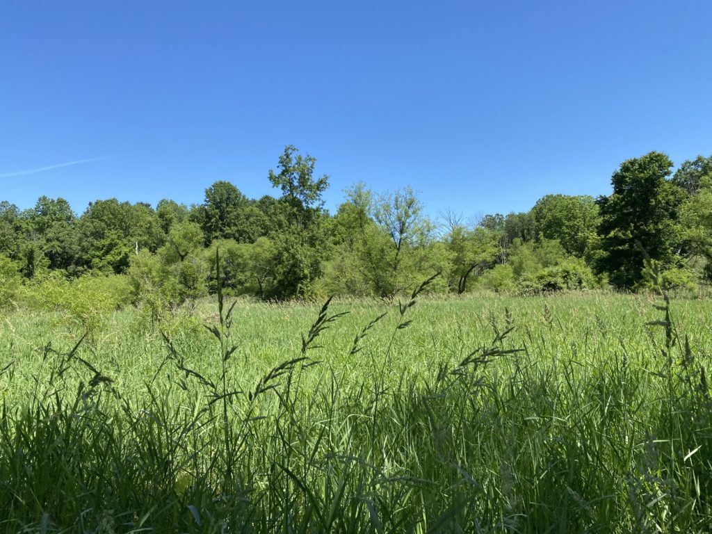
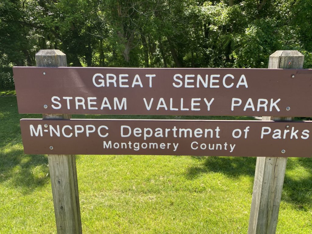
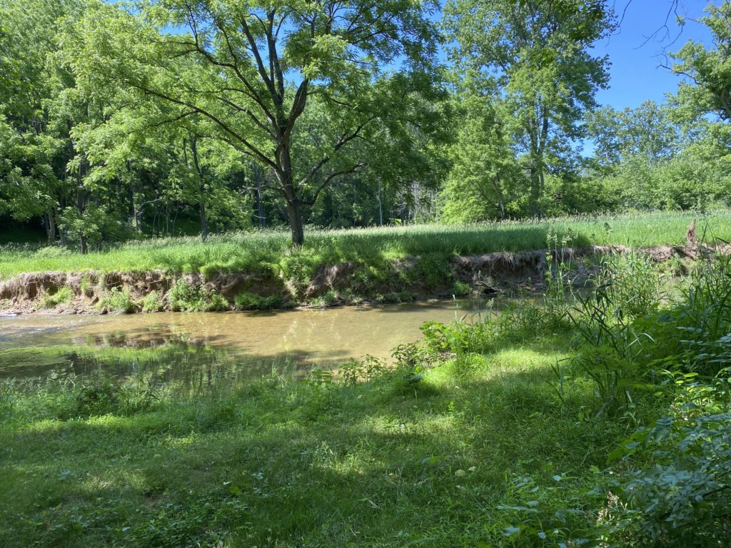
We may not have set any speed records, but it was a lovely day and we enjoyed ourselves. Near the end of our walk, Sweet Potato found herself a nice place to roll around in the dust (one of her favorite things to do) and enjoyed the scents.
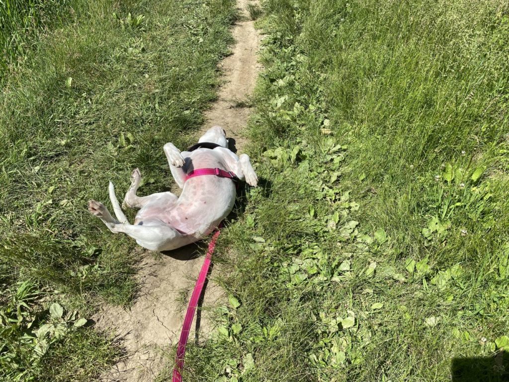
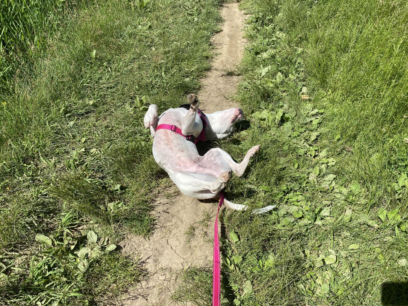

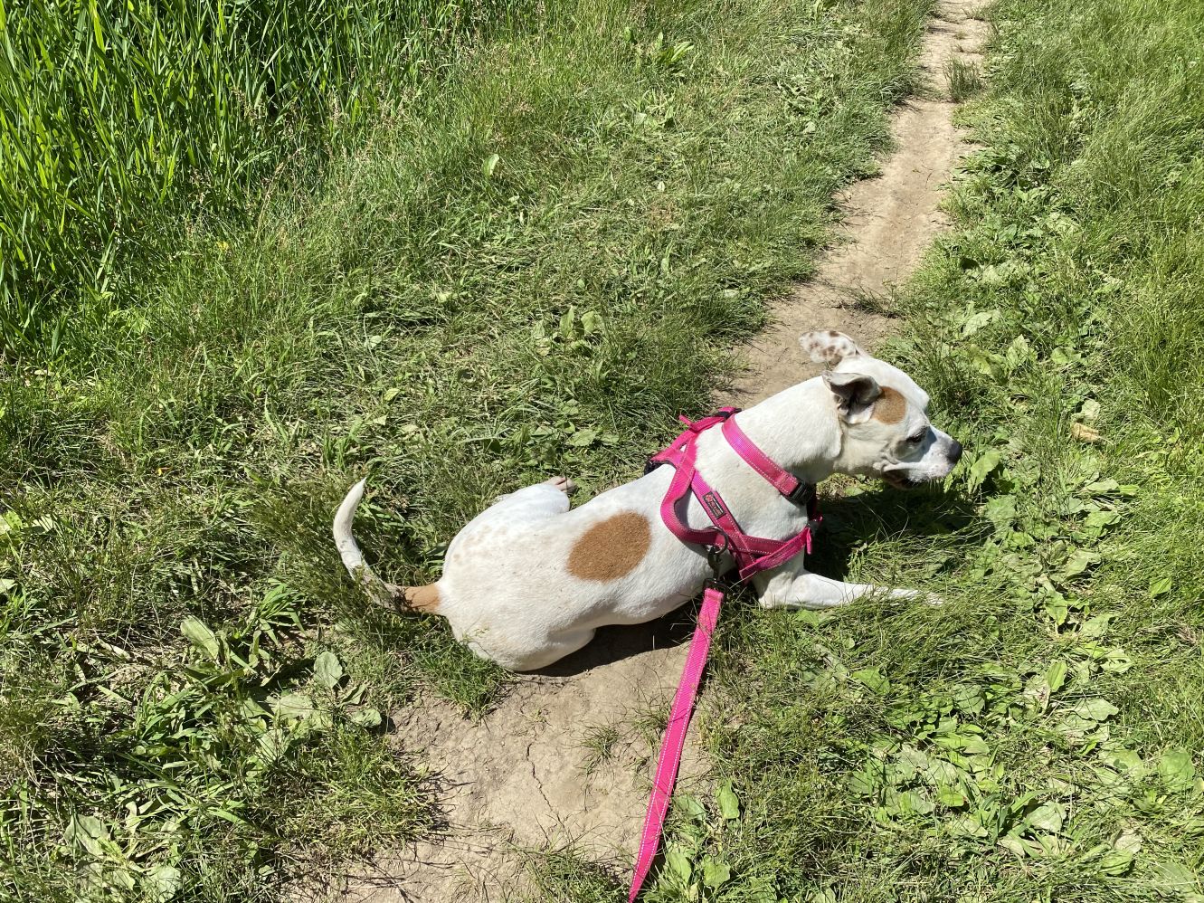

And that’s it for this series of daily hikes. Tomorrow it’s back to work. Sweet Potato however would like to share one final thought.
I has to waits for weekend? But that’s like…. forever!
– Sweet Potato
Dog Mountain Road Trip – Day Seven (June 5, 2022)
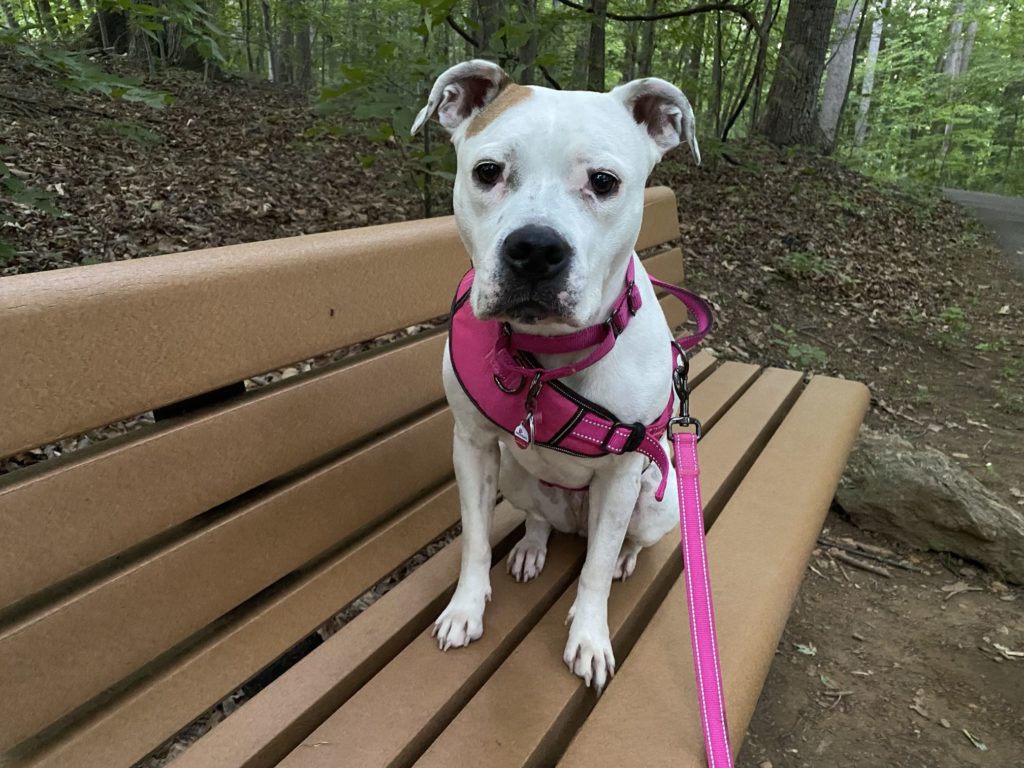
Technically, the road trip ended when we got home yesterday, but hey, we’re on a roll. Plus, there are more photos of Sweet Potato; who could possibly object to that? Today’s hike was about four miles on the loop around Blackhills Regional Park in Boyds.
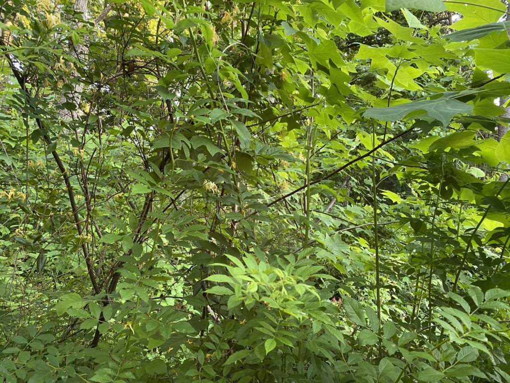
One of our regular stops when hiking this route is just to the South of the visitor center parking lot. Where the trail goes into the woods, there’s a post with a bracket on it where where you rest your phone (or even a camera) and take a photo of the scene in front of you. There’s a sign on the post with an email address to send the photo to.
This is part of a “Citizen Science” project. In 2016, there was a fire at this location (probably caused by a carelessly discarded cigarette). By submitting a photo, you’re helping to document the forest’s recovery. The photo below shows how the site looks today, but there’s also a “time lapse” available online, made up of photos other people have donated over the past three years.
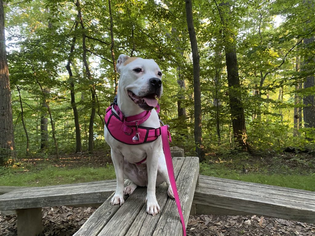
Sweet Potato has been taking canine agility classes at day care; today provided an opportunity to demonstrate her skillz in a non-traditional setting, using some of the fixtures present at the park. She was quite happy to oblige with a couple quick photo ops.
Finally, a quick public service reminder — if your car has more than one “cup holder”, it’s OK to put your beverage in one of them. But remember, the other so-called “cup holder” is for dog treats.
Dog Mountain Road Trip – Day Six (June 4, 2022)
The trail suggestion for last night had been to visit the Lehigh Gorge State Park, but I didn’t spot the signs for the access points until we were headed back to the hotel after a short hike in the Hickory Point park.
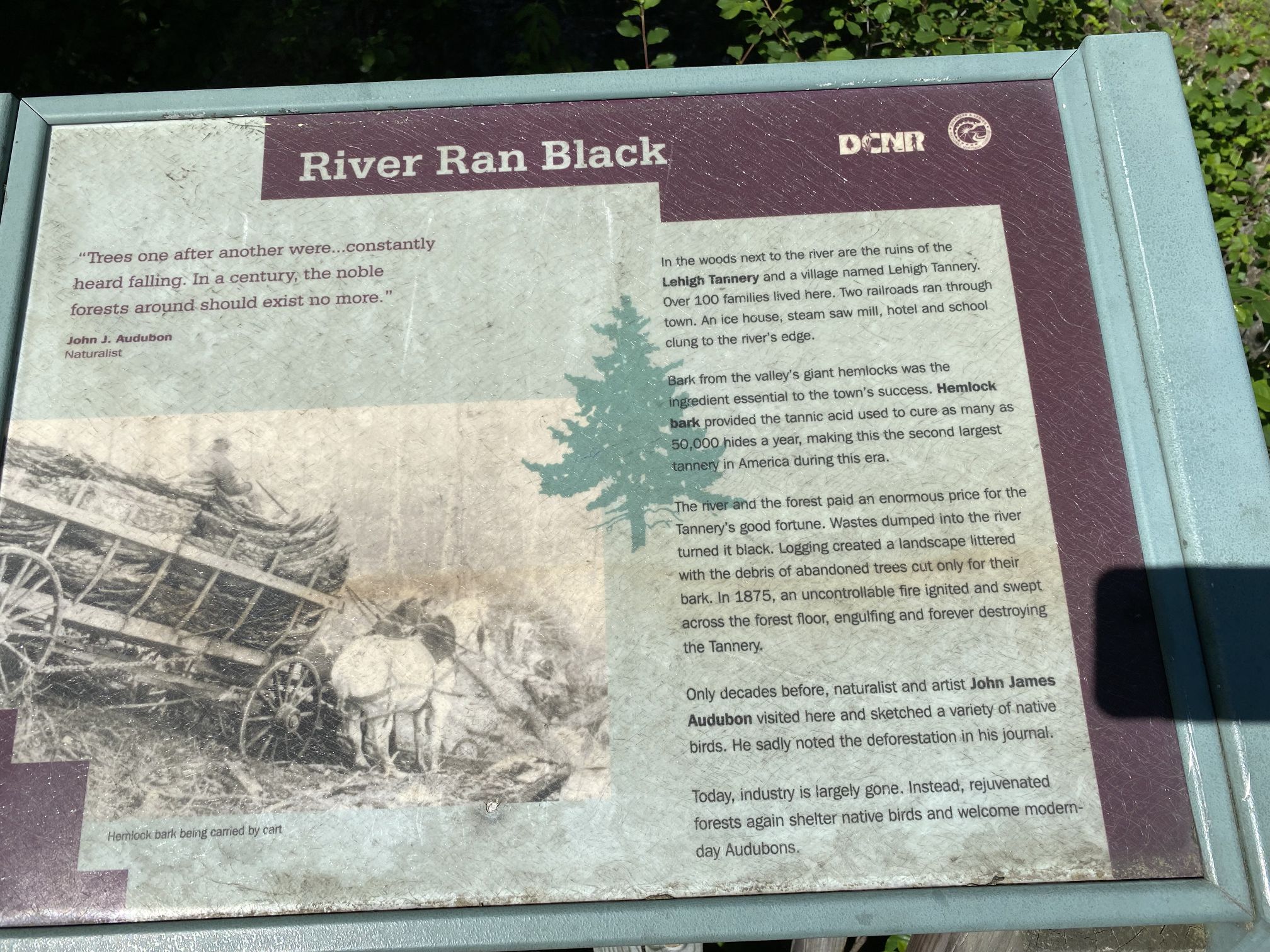
Today’s plan was to meet Phil and Evon for lunch and then head back to Maryland. We had a few hours to spare in the morning, so after checking out of the hotel, we headed back to the Lehigh Gorge. A first attraction there was the Lehigh Tannery historic site. According to the signs in the area, the area was heavily deforested in order to obtain tree bark for use in the tanning process. Naturalist John Audubon lamented that this could eventually leave the entire area devoid of trees. Several years after Audubon’s visit, a fire spread among the felled trees and destroyed the tannery.
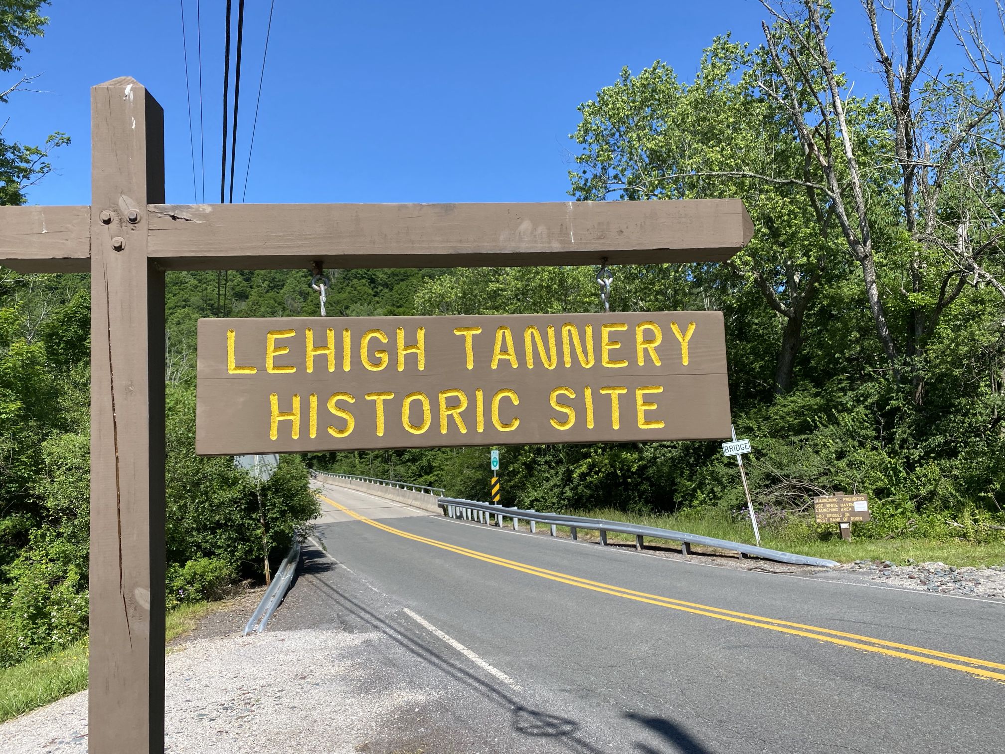

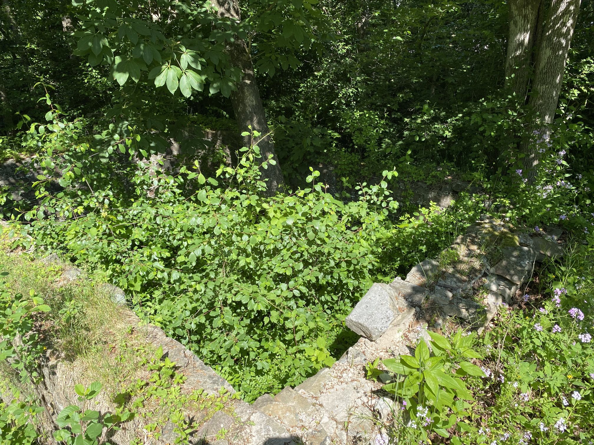
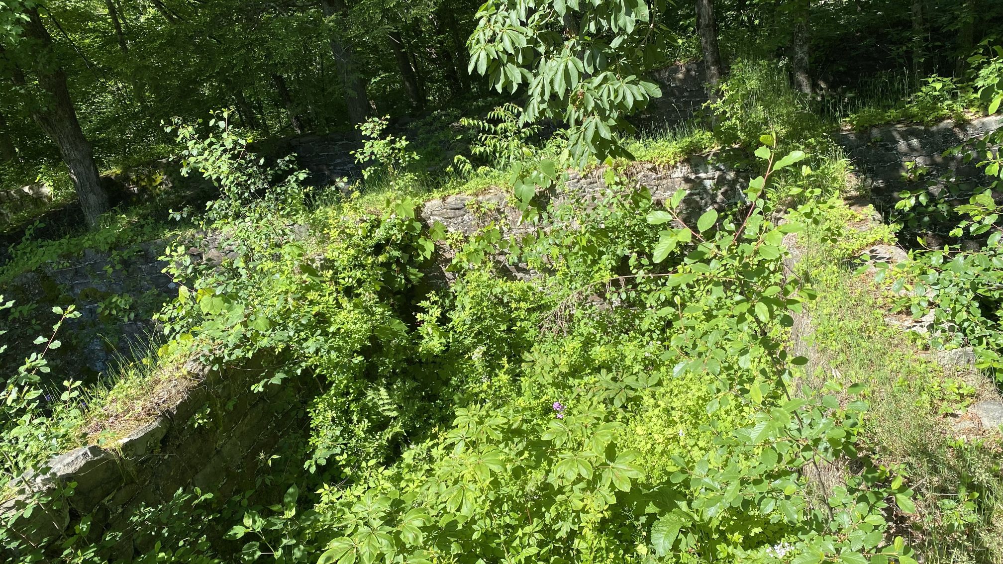
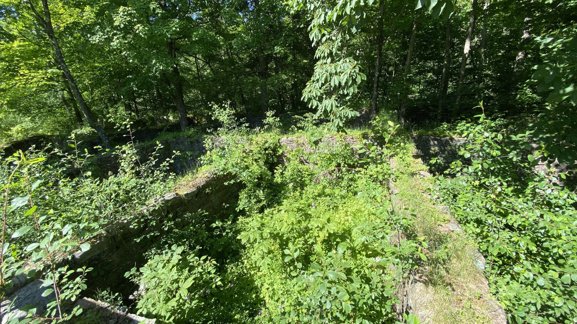
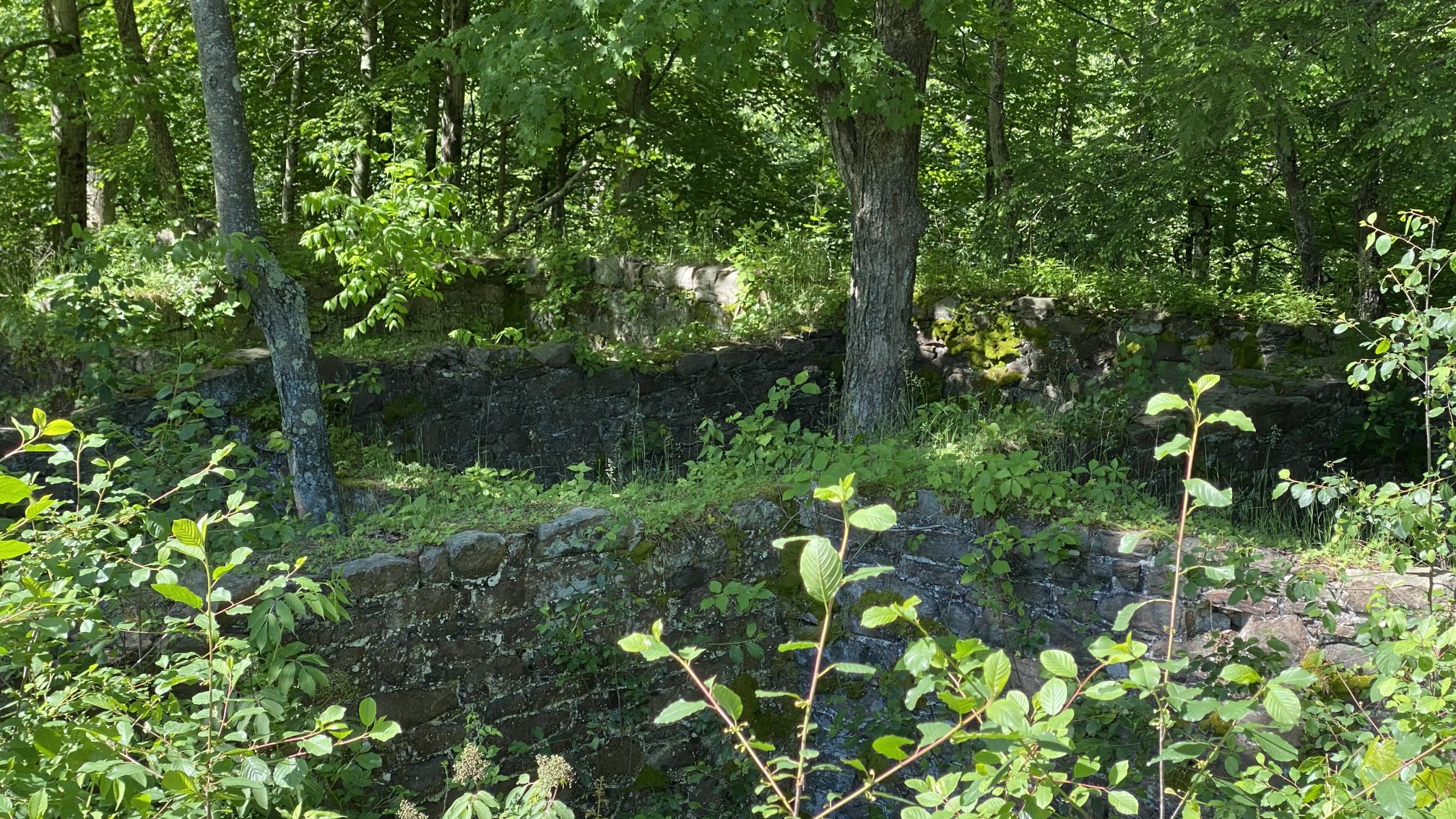
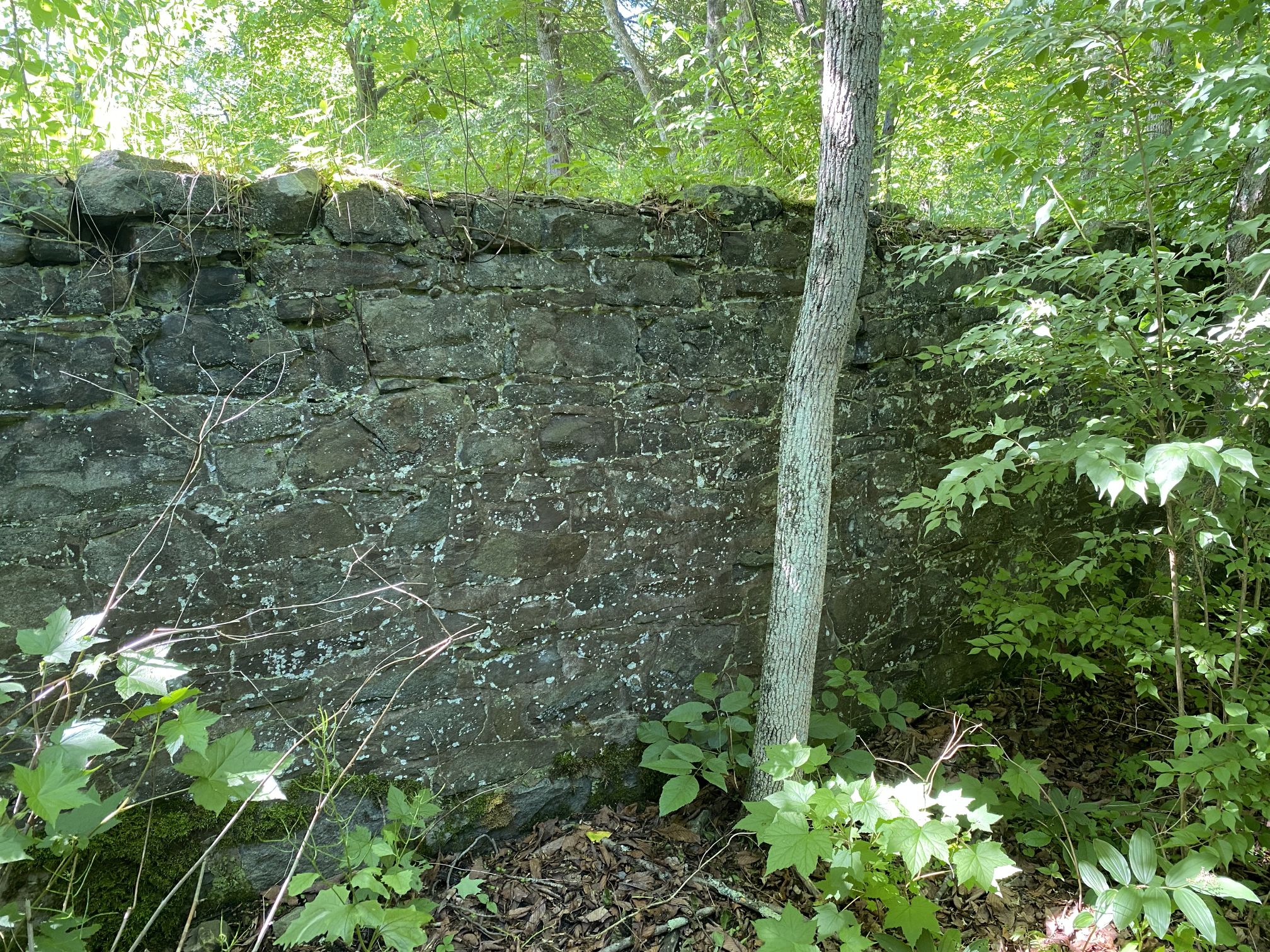
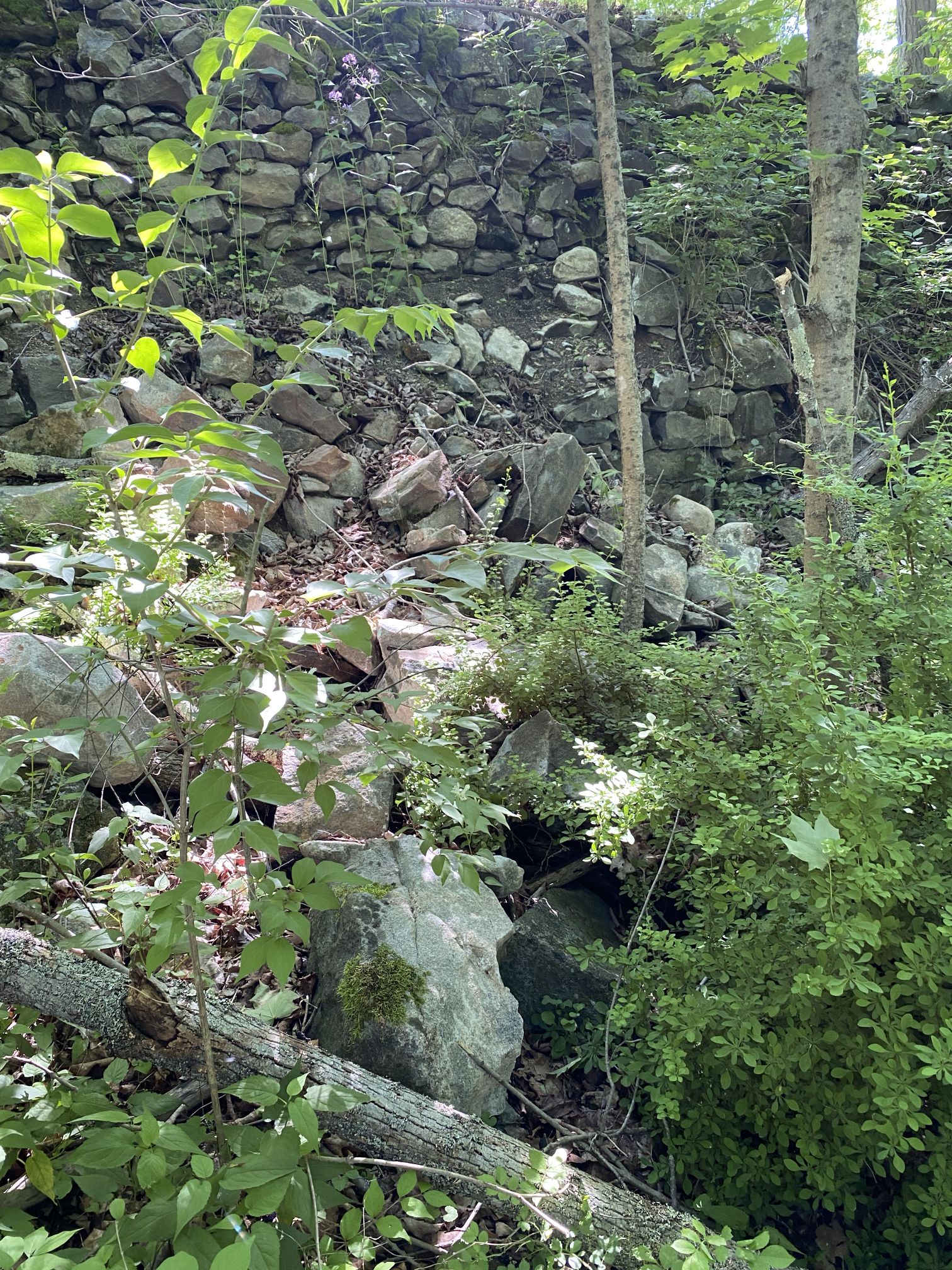
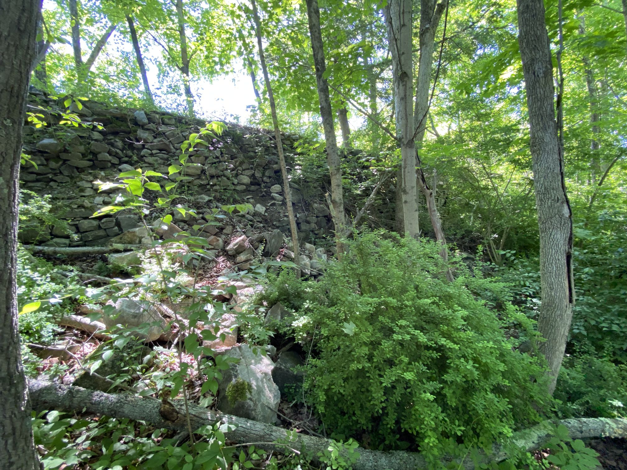
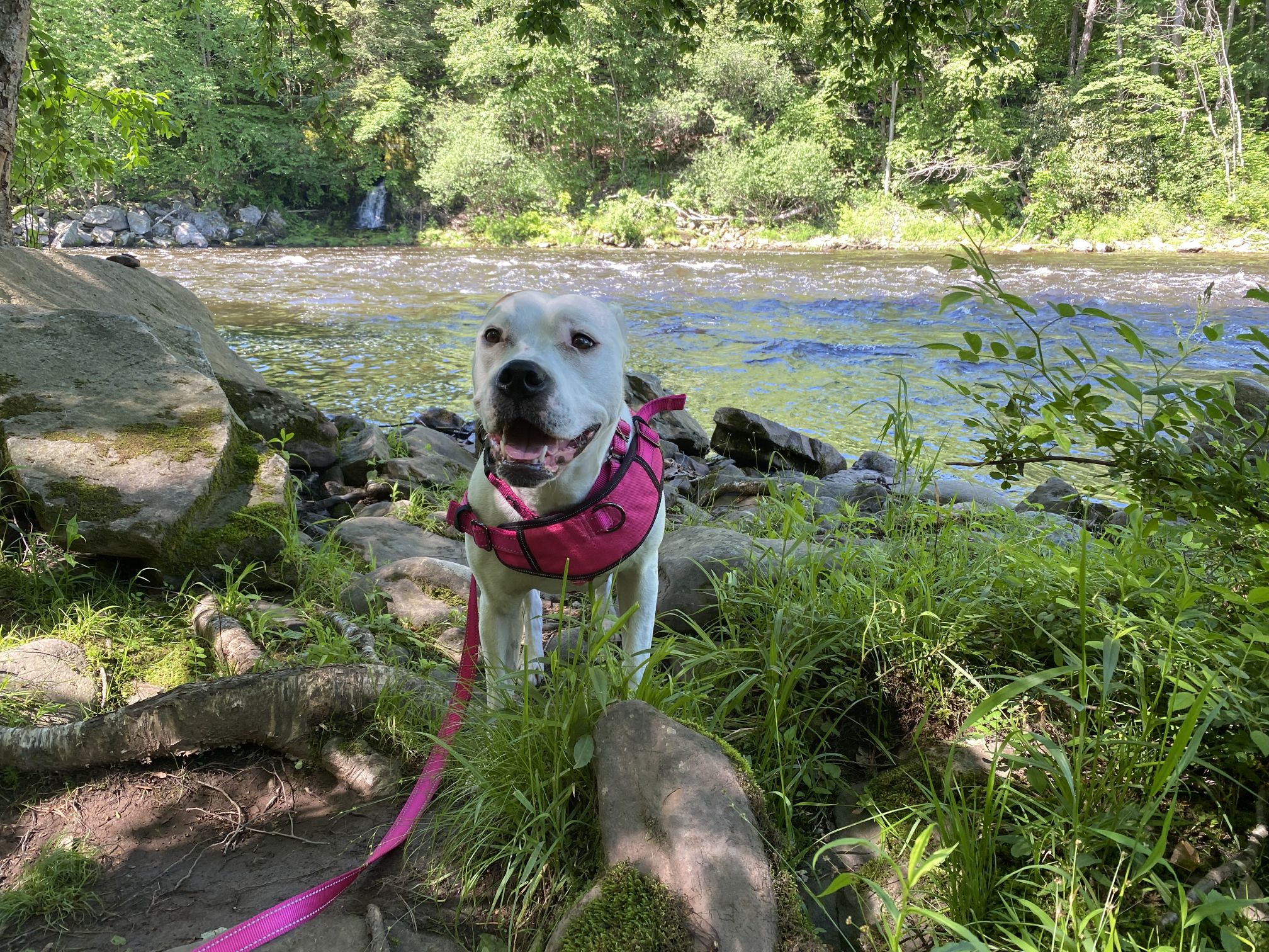
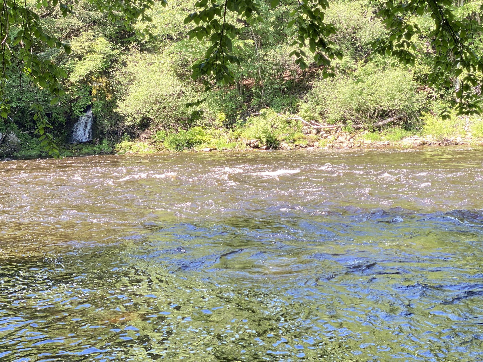
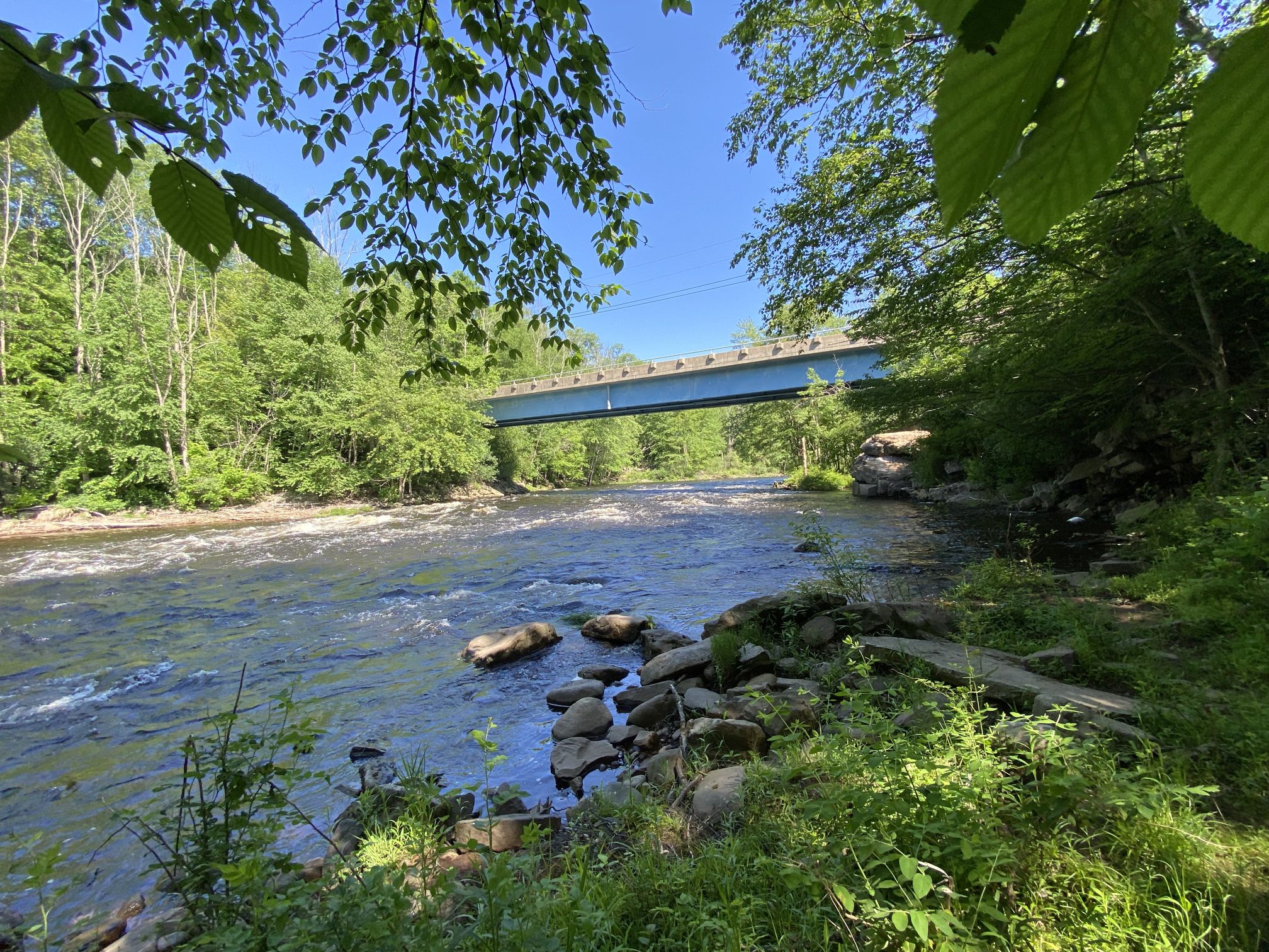
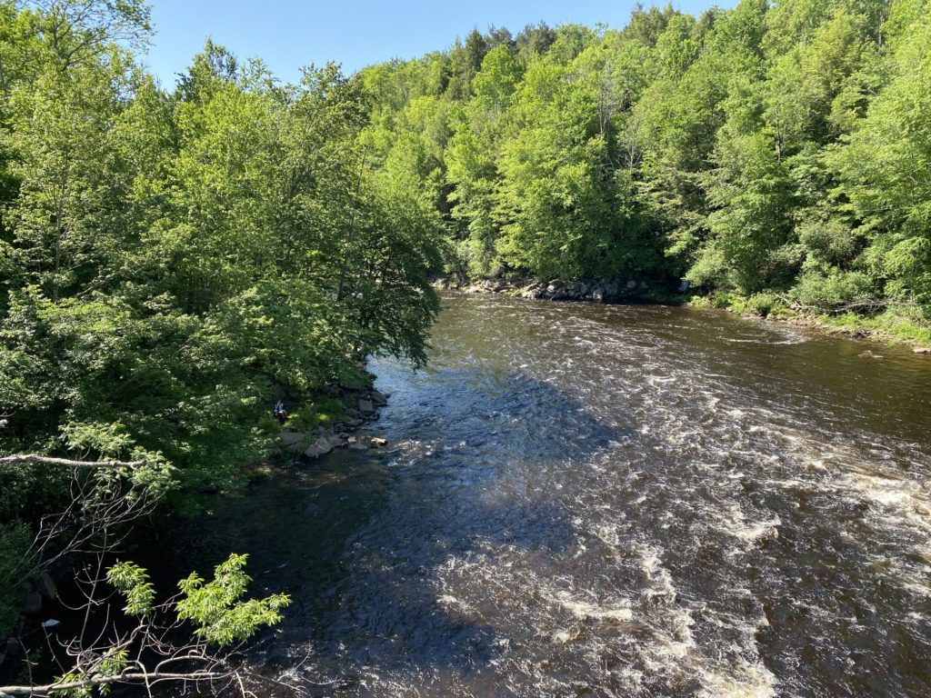
After looking around the tannery site for twenty minutes or so, the realization came that the actual trailhead might be on the other side of the bridge. (There weren’t a lot of signs about trails, more about not launching boats from this location.)
Sure enough, the actual Delaware and Lehigh trail was on the other side of the river!

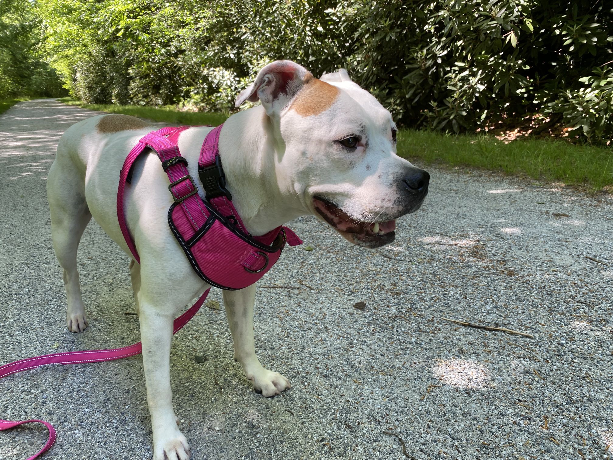
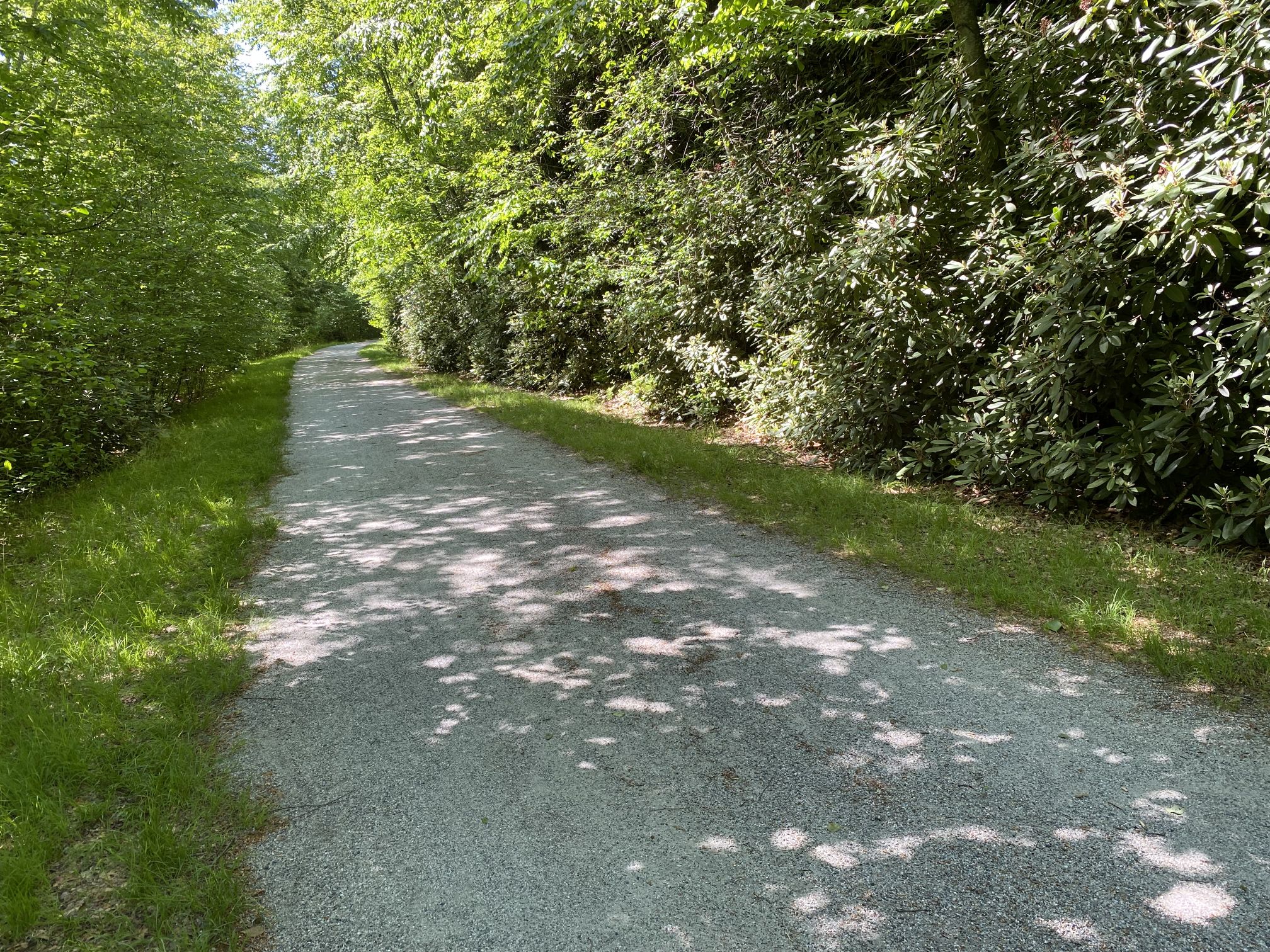
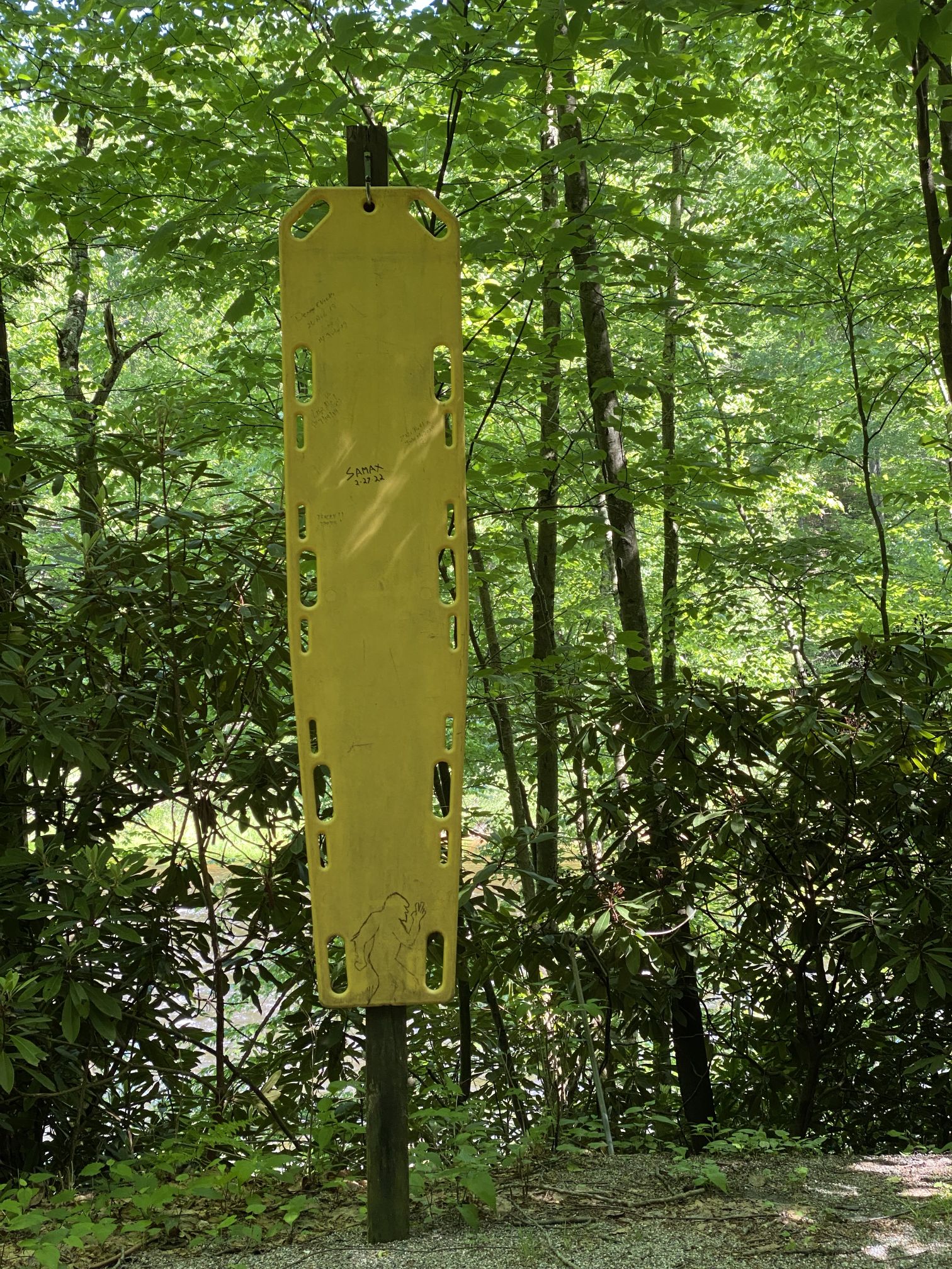
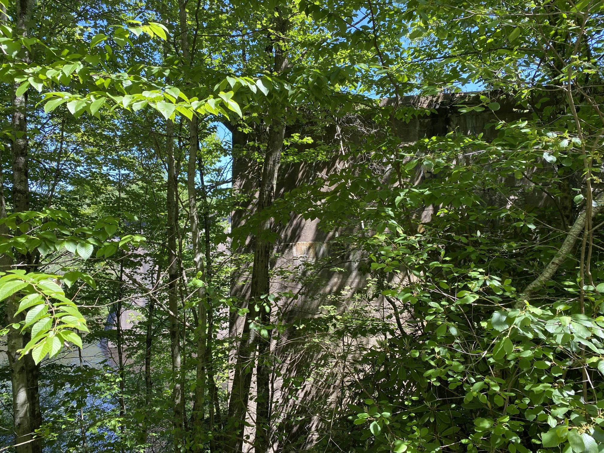
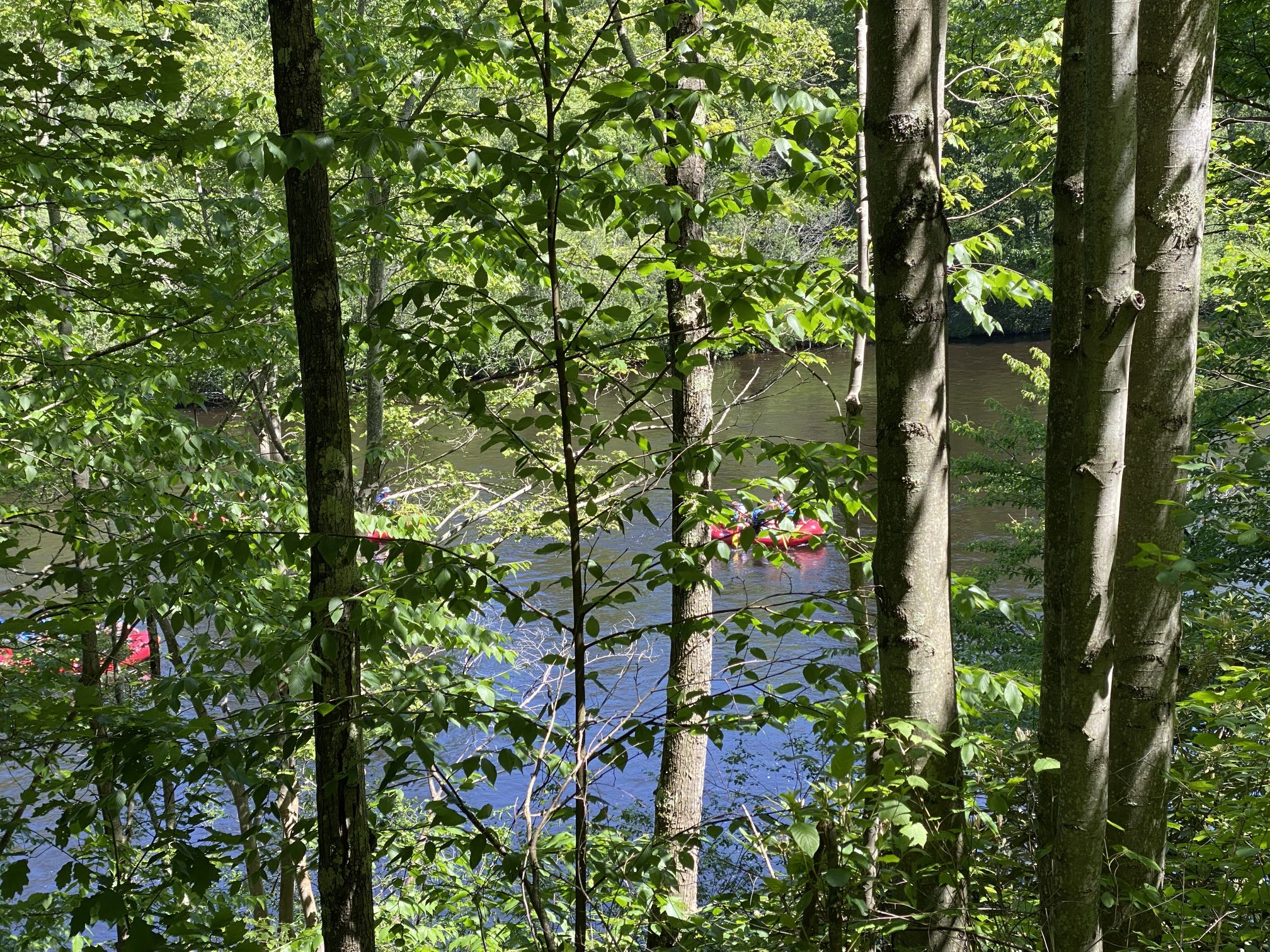
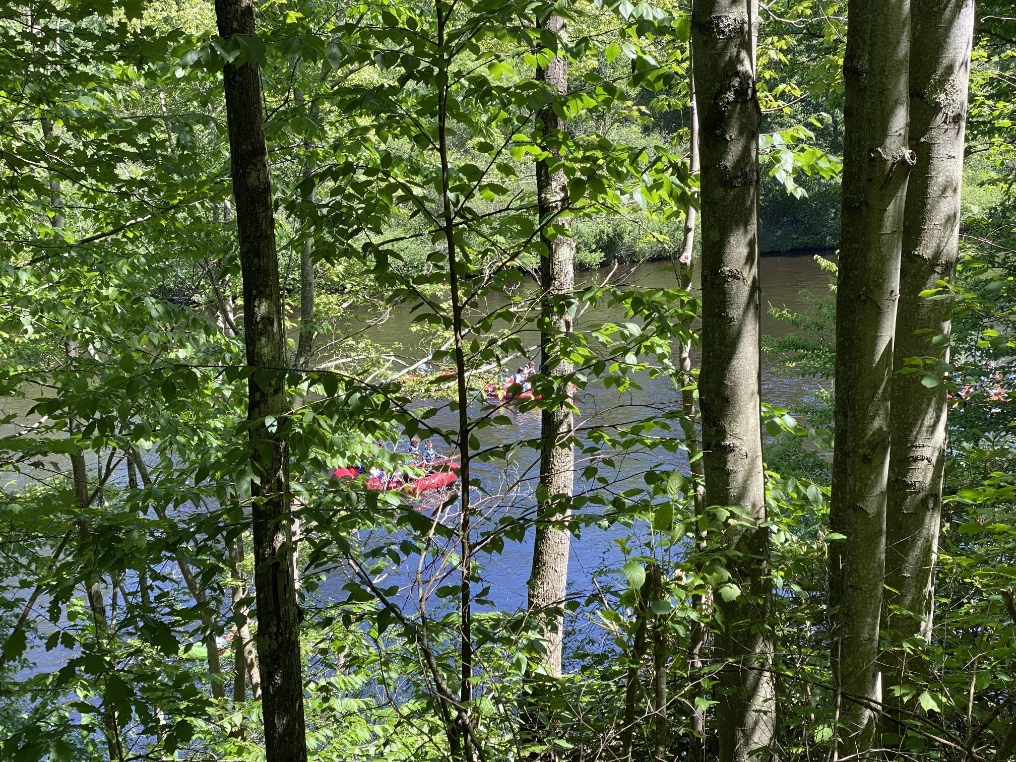
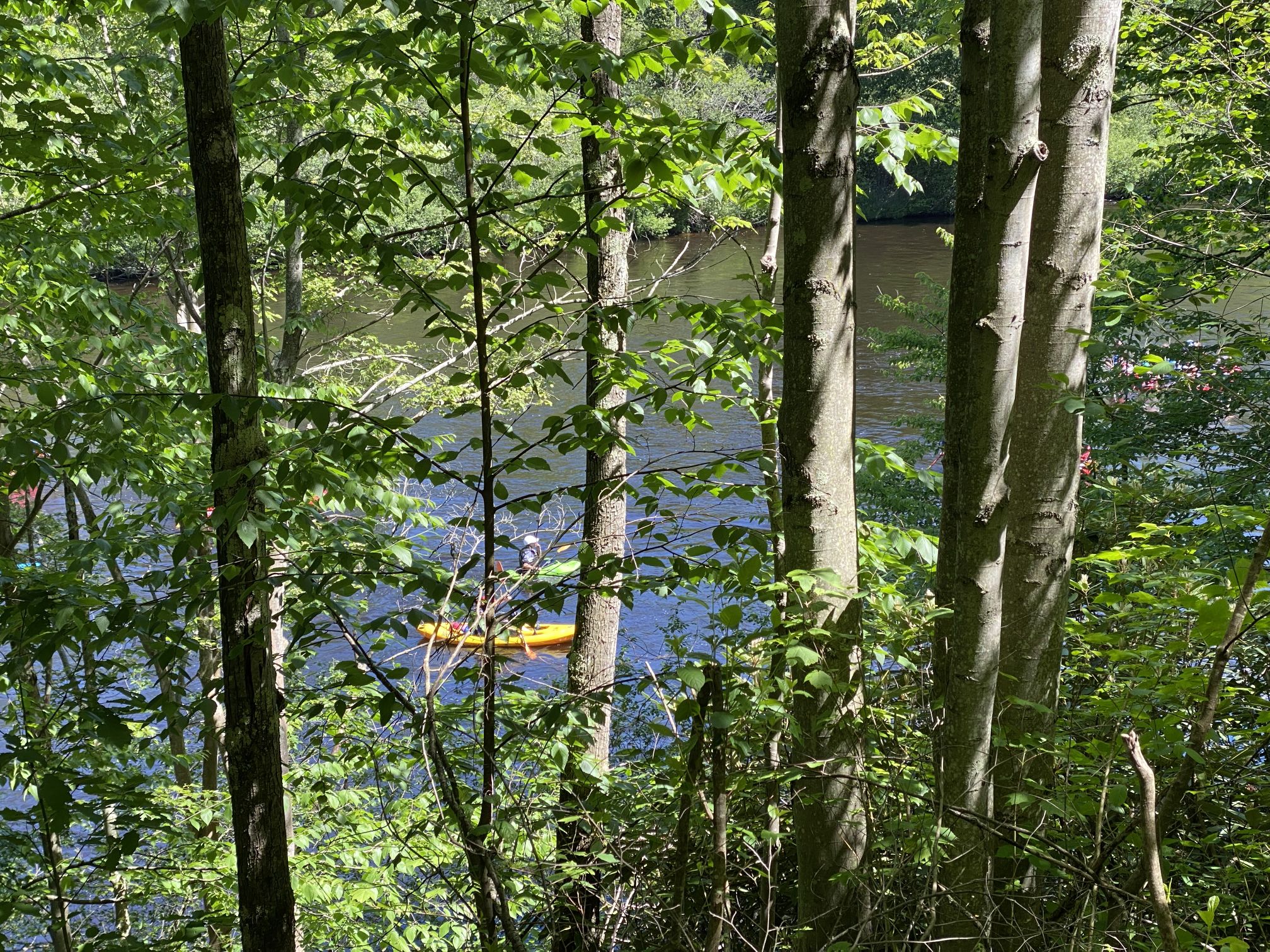
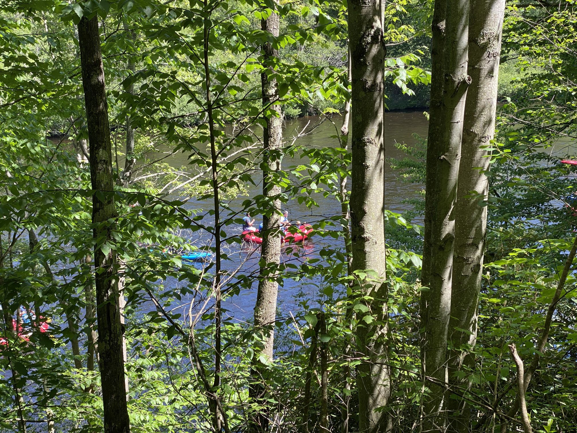
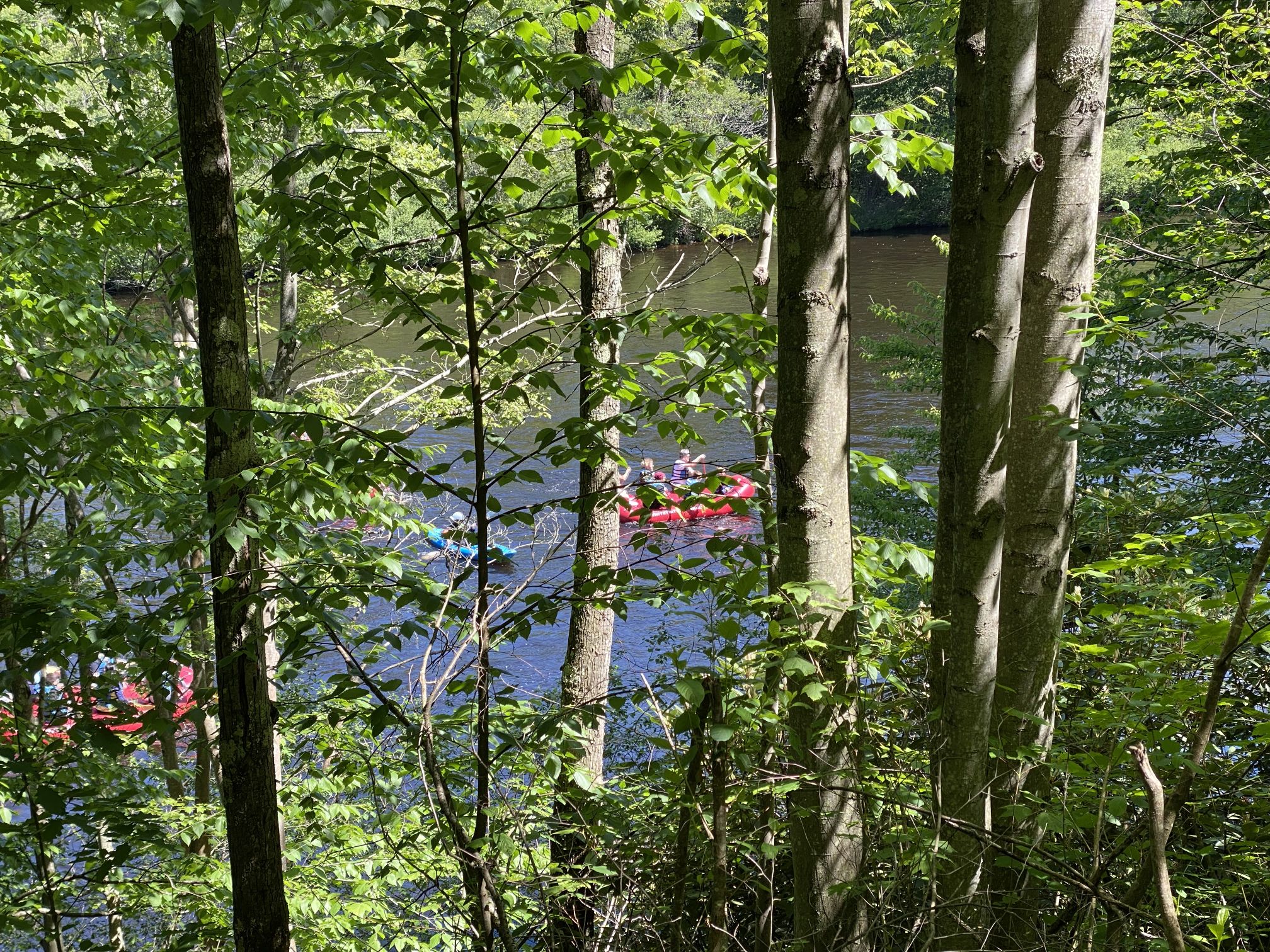
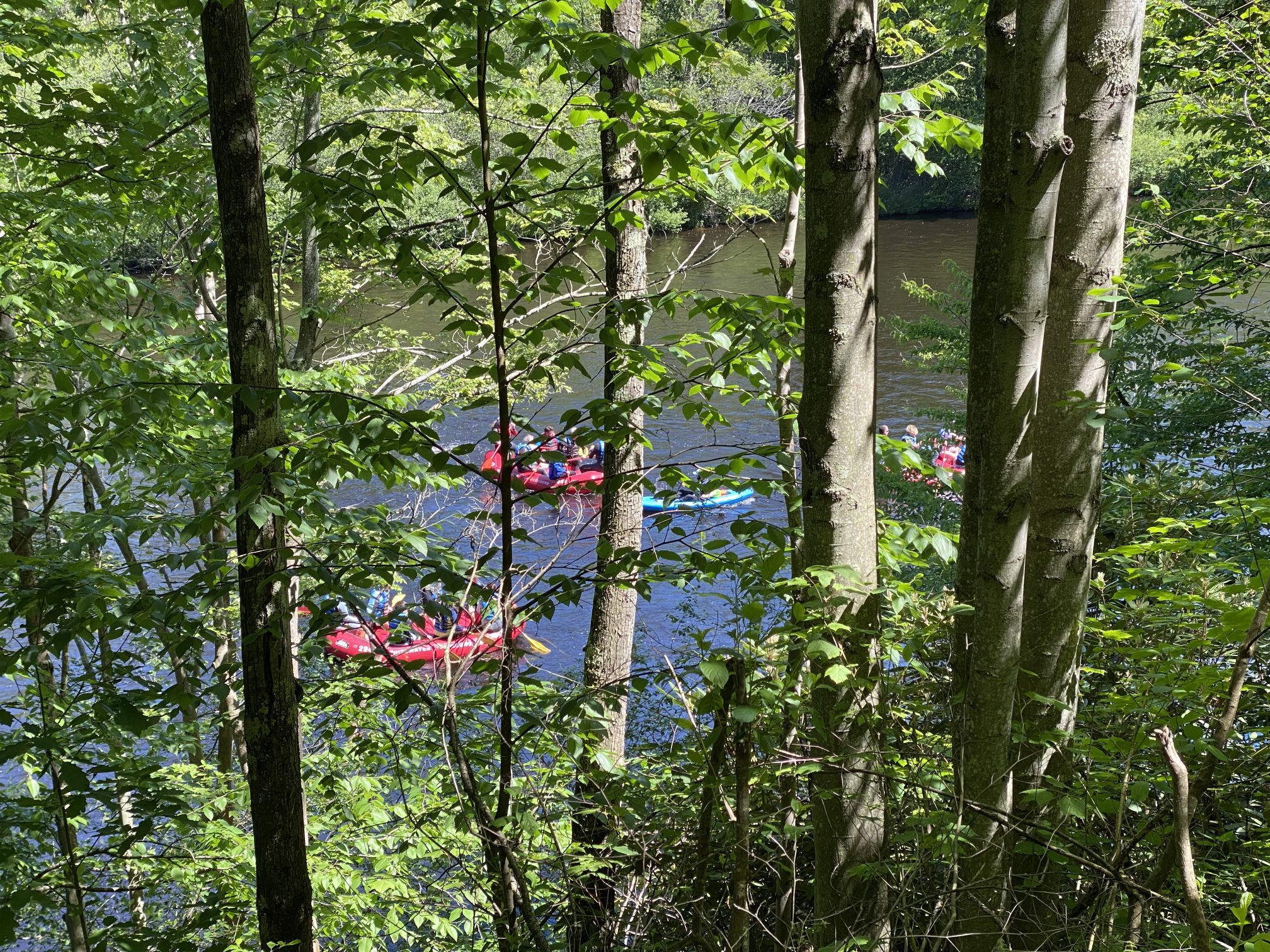
Around 11:30, Sweet Potato and I got back in the car and headed off to meet up with Phil and Evon. It was a pleasant lunch and a fun time catching up with friends I usually only see once or twice a year at conventions.
Lunch was at a local park, providing Sweet Potato a chance to get out and stretch her legs for a bit. Afterward, we went for a stroll around the park and spotted Mother and Father Goose swimming with this year’s goslings.
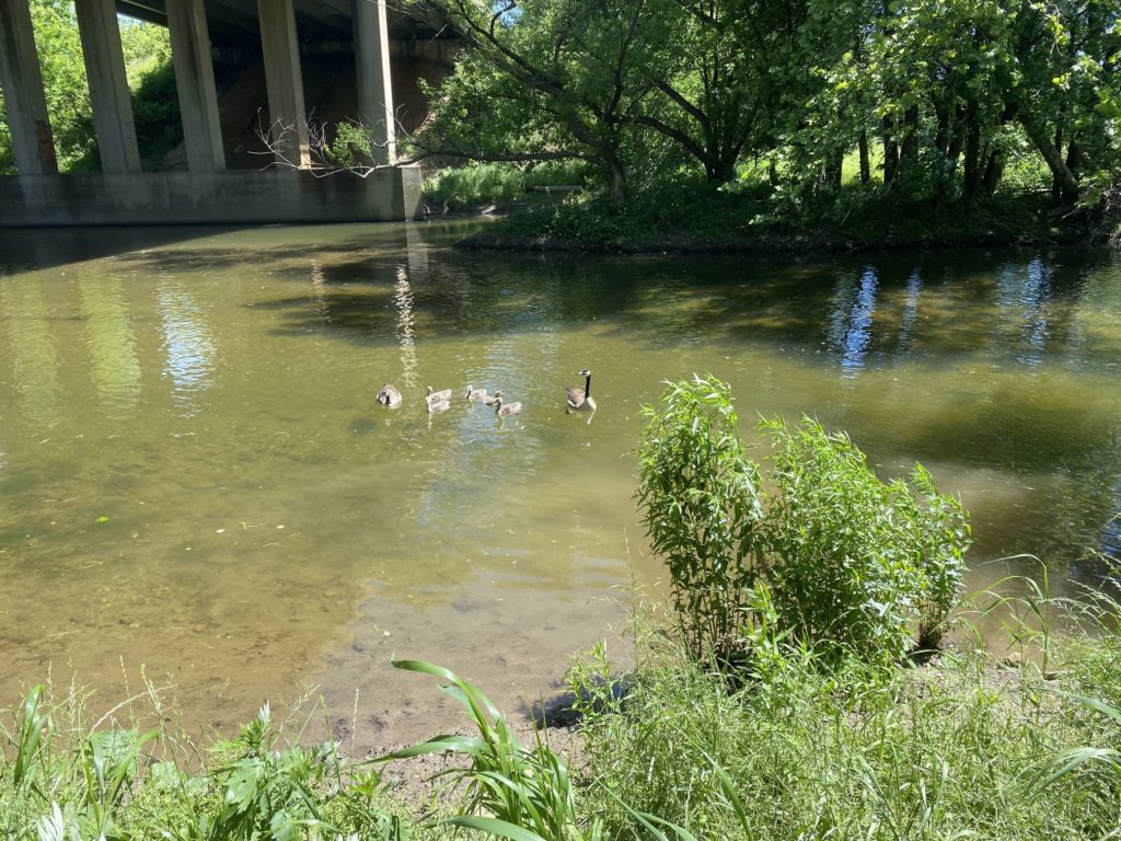
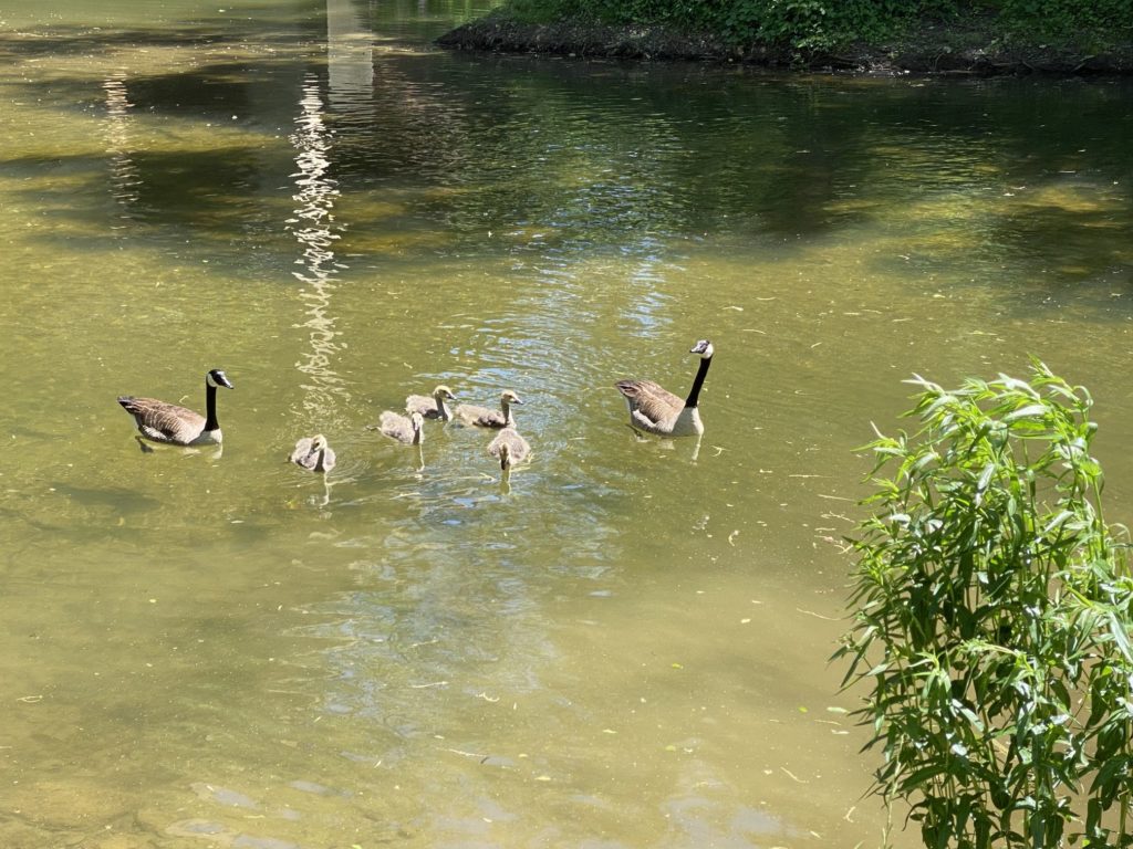
Afterward, it was time to part ways and Sweet Potato and I at last headed to Maryland, arriving home around 6:30. When we pulled up in front of the house, Sweet Potato immediately recognized her surroundings and made a beeline (dogline?) for the front door and, once inside, immediately ran upstairs to find her Mama.
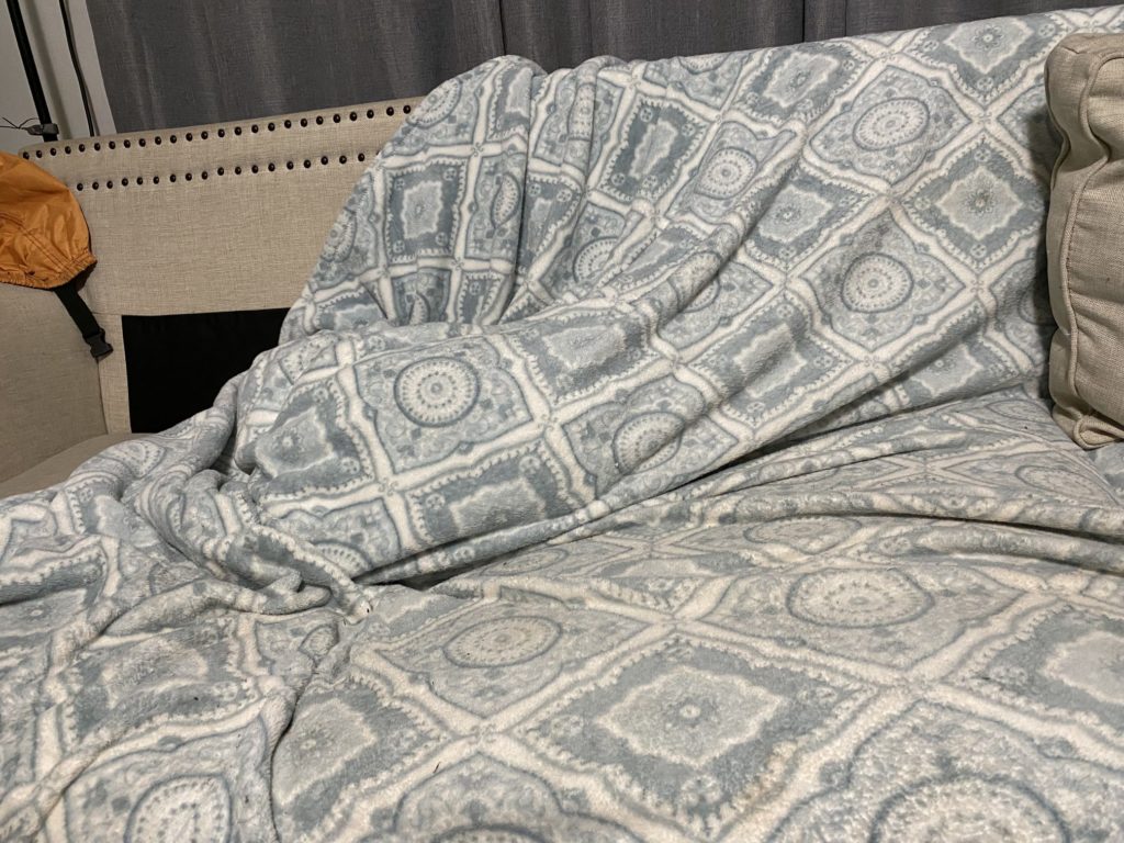
After dinner, Sweet Potato availed herself of the opportunity to engage in one of her favorite activities and burrowed into the sofa for the first time in nearly a week.
Dog Mountain Road Trip – Day Five (June 3, 2022)
Today was a rest day. Or really, a driving day. According to Google Maps, it would have taken more than nine hours of driving to get home from Vermont. And that’s before you add in breaks for meals, gas, and rest stops. Oh, and traffic.
Pennsylvania’s Lehigh Valley looked to be about two-thirds of the way home, so I dropped a line to my friend Phil to see if he was free for lunch on Saturday. He is, so I made a reservation for a hotel in that area with the plan to arrive late afternoon and then Sweet Potato and I would go for a hike somewhere in the area.
Remember that “nine hours” to get to Maryland? Google Maps was being quite optimistic (Connecticut will be a nice state once they finish building it). It took nine hours to get to the Lehigh Valley. Sweet Potato was so patient with the car ride – hopping back into her “nest” after every rest stop – that I felt I owed it to her to find a place to go for a walk that wasn’t just a hotel parking lot.
So, based on a suggestion from the desk clerk (three good suggestions at three different hotels), we spent the last half-hour of daylight on a trail in the Hickory Run State Park.
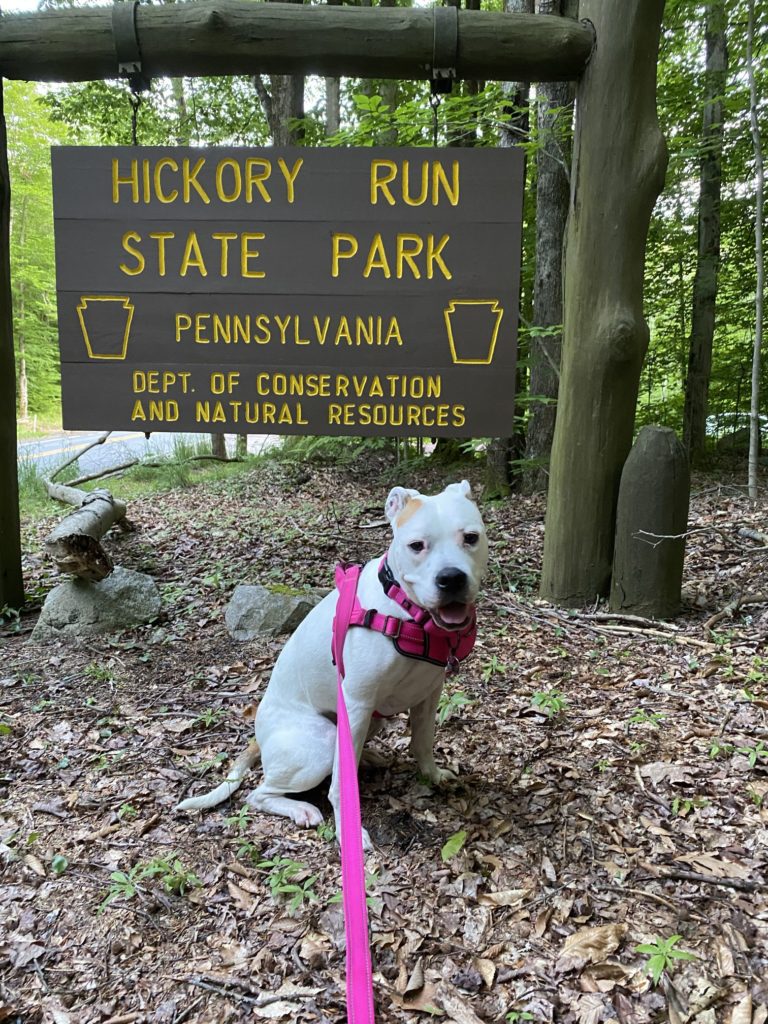
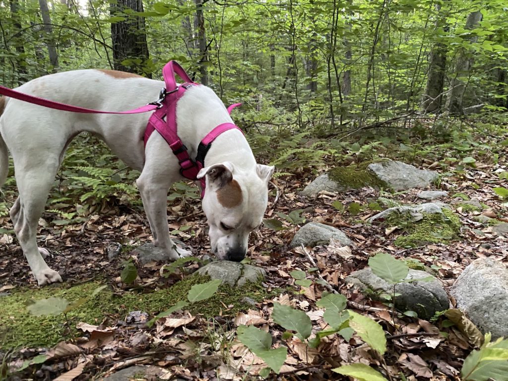
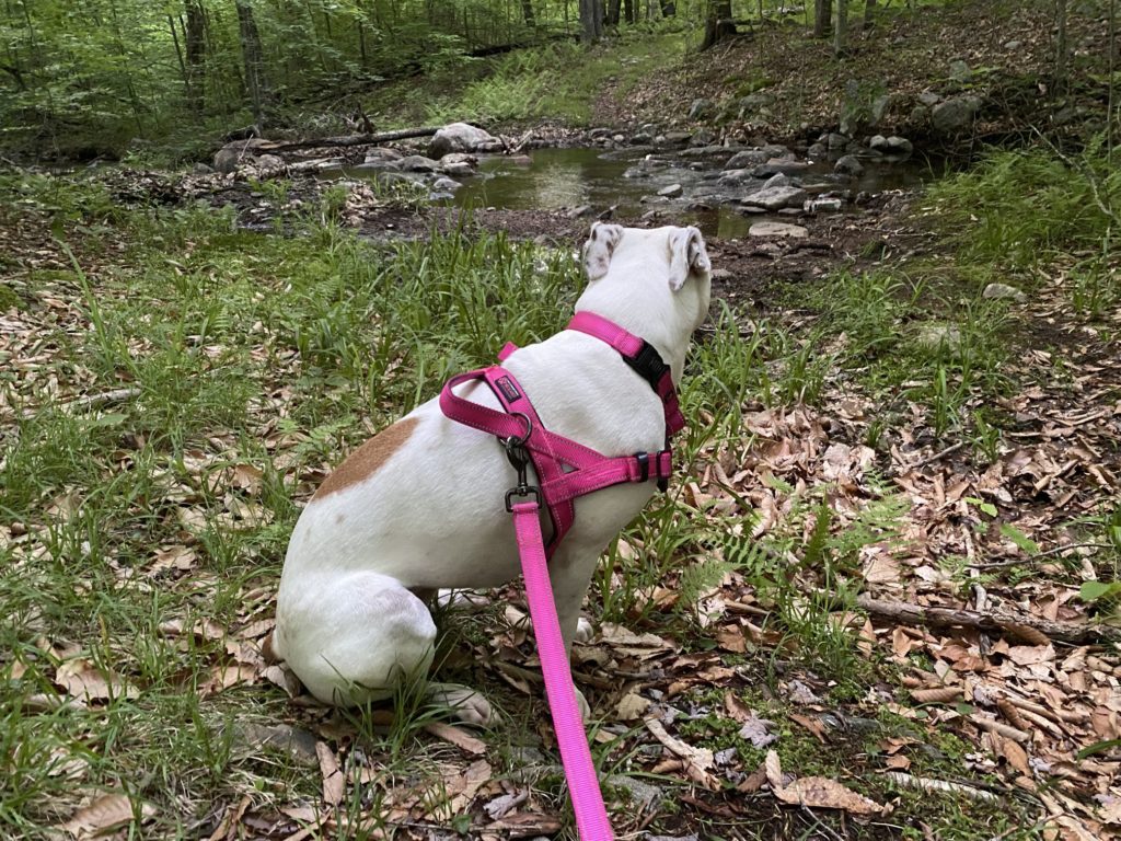
Dog Mountain Road Trip – Day Four (June 2, 2022)
Today’s the day the others were leading up to . This morning at 10:00 AM, Sweet Potato and I arrived at Dog Mountain.
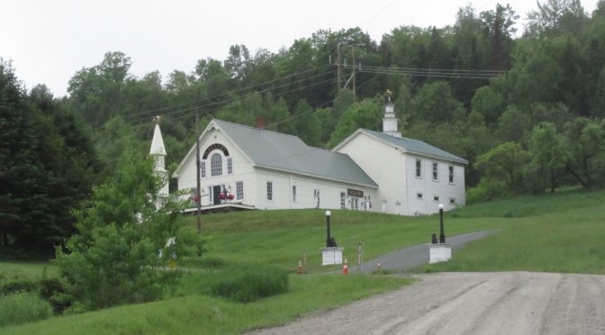
Artist Stephen Huneck made a name for himself with woodcutting artwork featuring dogs. After a serious illness, he had a vision to build a “Dog Chapel” as “a place where people can go and celebrate the spiritual bond they have with their dogs.” When he and his wife passed away, their family and friends turned created the Friends of Dog Mountain organization to preserve the land as a place where people can bring their dogs.
That’s where Sweet Potato and I spent our day.
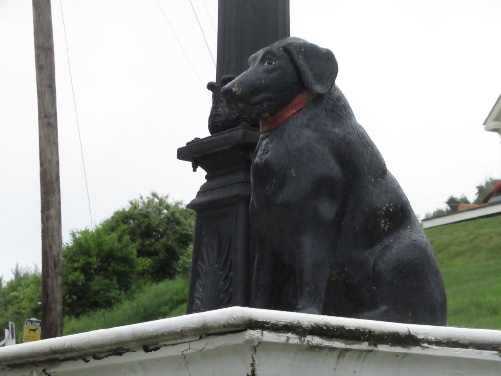
Dog Mountain has three main attractions:
- The Stephen Huneck Art Gallery, where you can purchase his artwork.
- The Dog Chapel, described as “a symbol of peace, love, and remembrance.”
- Hiking trails, where you can enjoy hiking with your four-legged friend
There are also picnic areas, a dog agility course, and an “Angel Dog Scenic Overlook.”
Sweet Potato and I made a quick visit to the art gallery and made a small donation to help support the enterprise, from there, we headed over to the Dog Chapel.
The Dog Chapel is a small two room affair. The main room has four pews, stained-glass windows, and a cadre of wood-carving dogs at the front. The stained glass window at the front features an “Angel dog”, the other windows, three on each side, feature a dog from one of Huneck’s art pieces, and a single word naming an attribute of what dogs bring their owners.
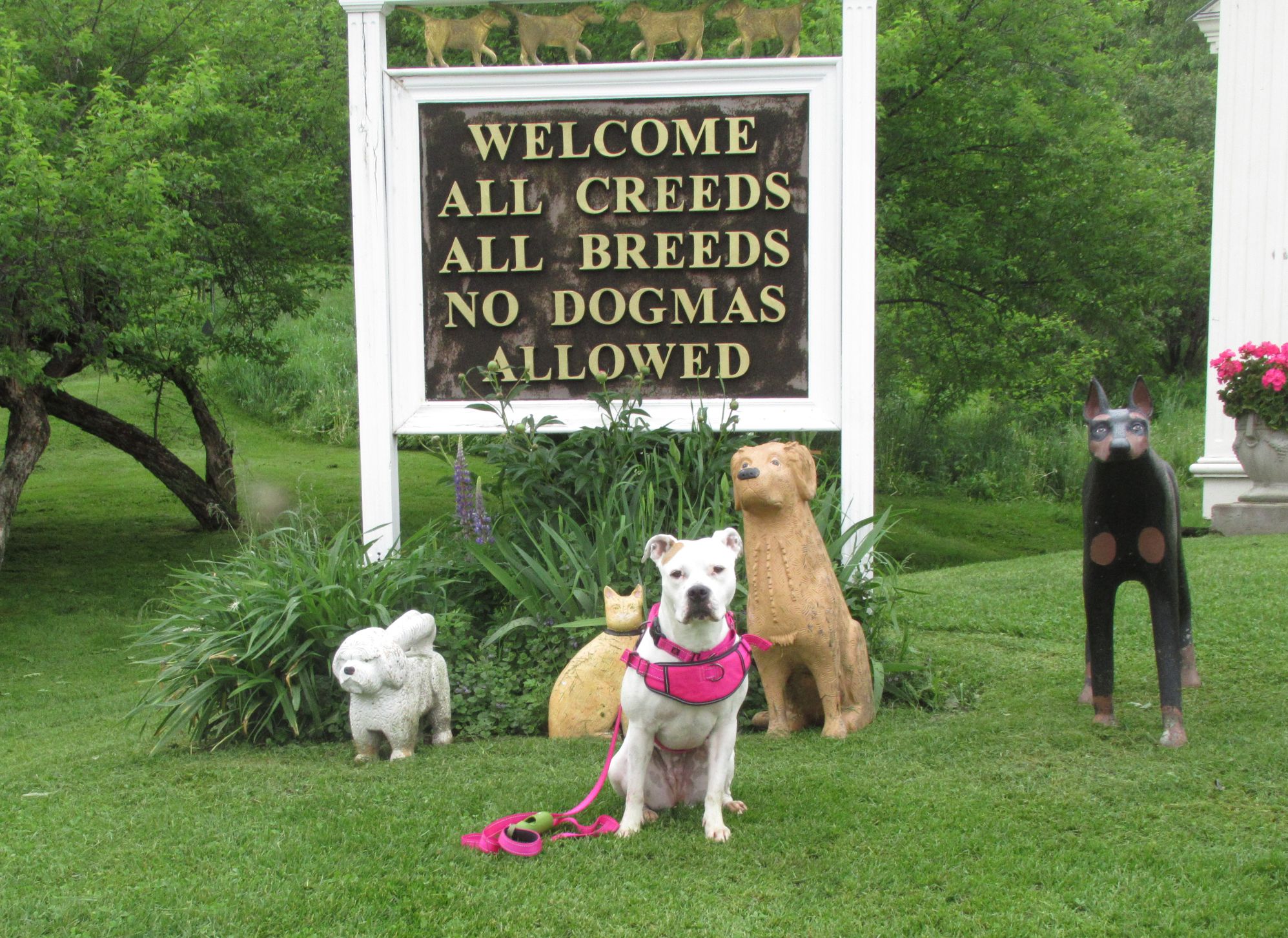
It’s a non-denominational affair (“All Creeds, All Breeds, No Dogmas Allowed”). It’s a sacred place for a dog owner.
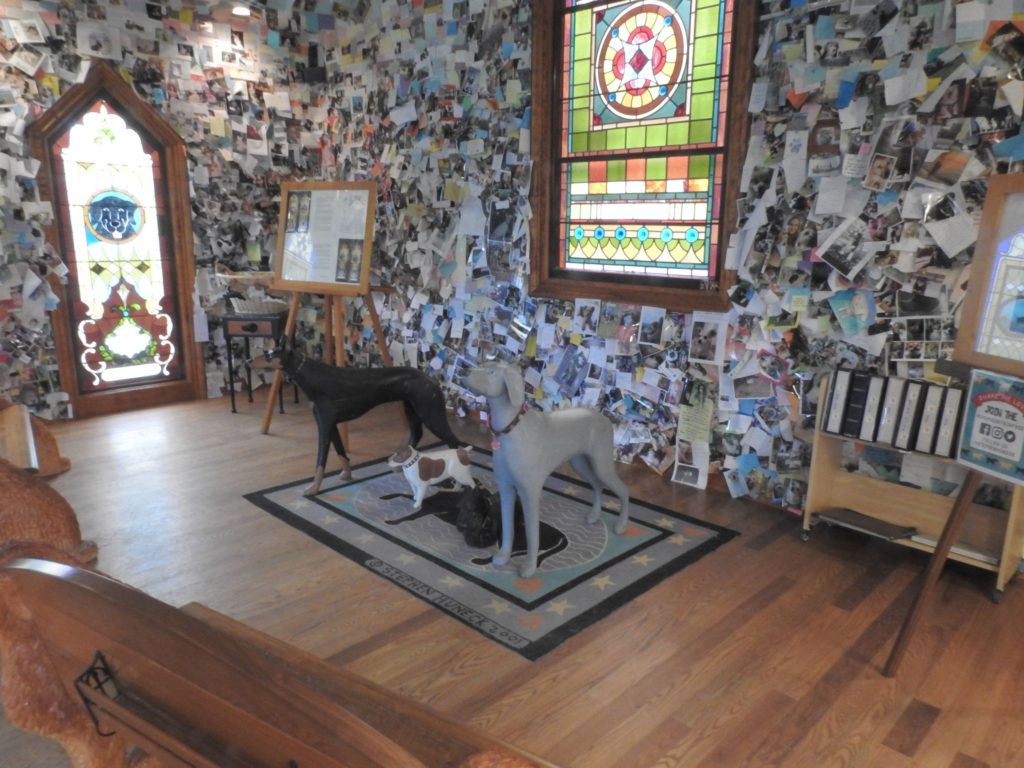
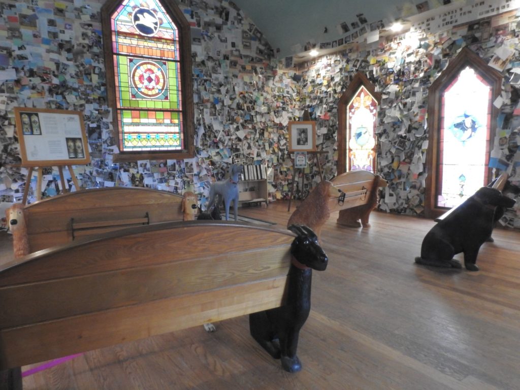
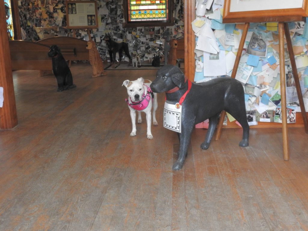
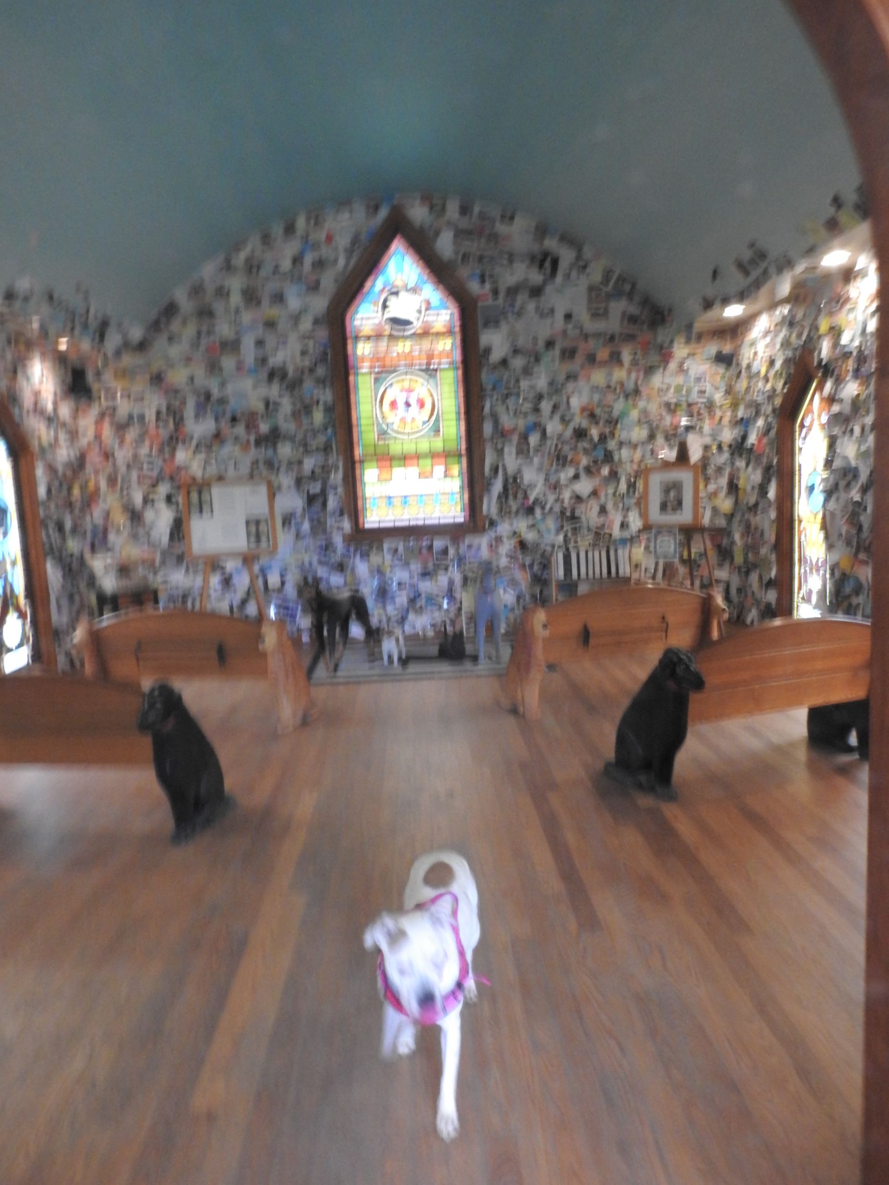
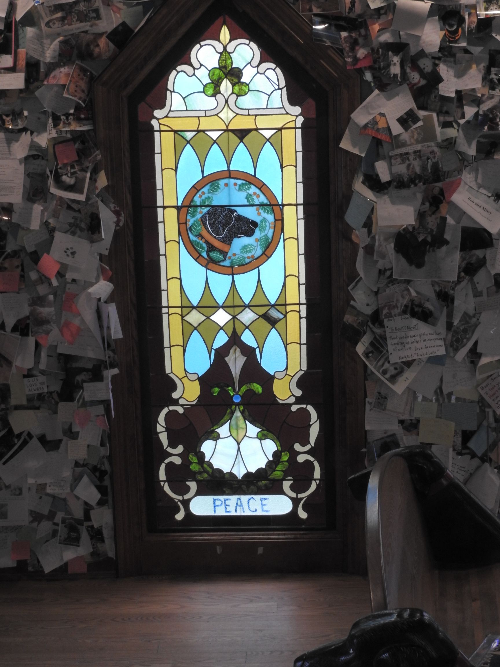
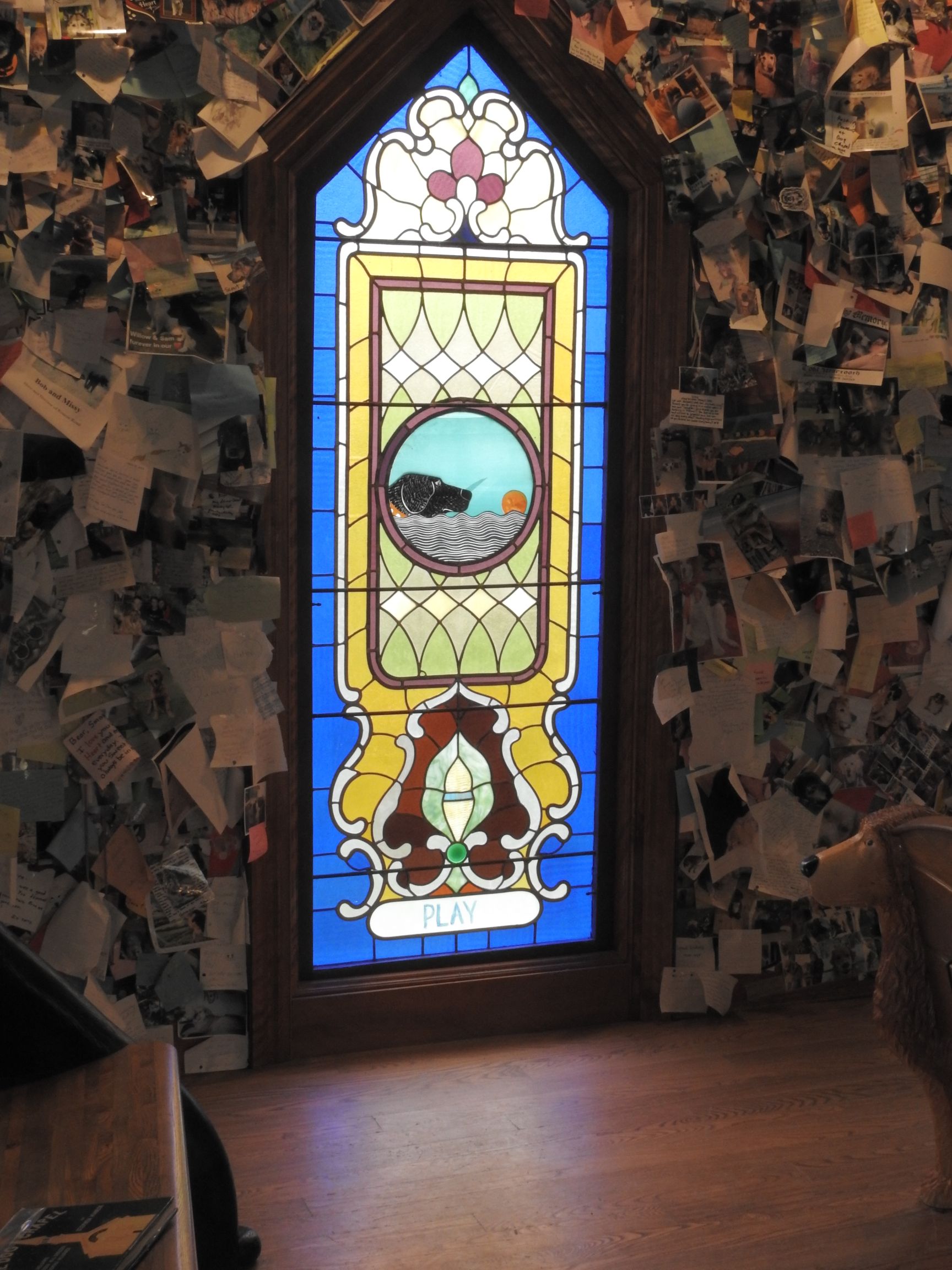
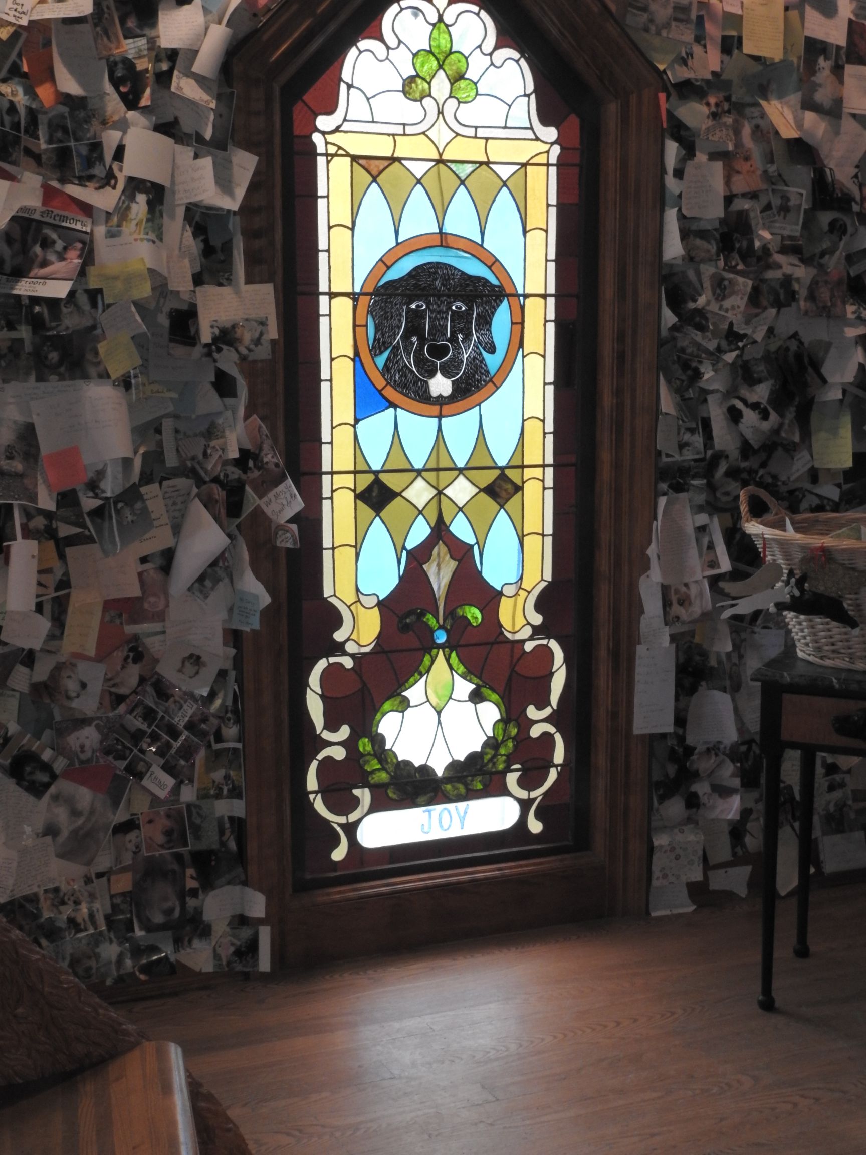
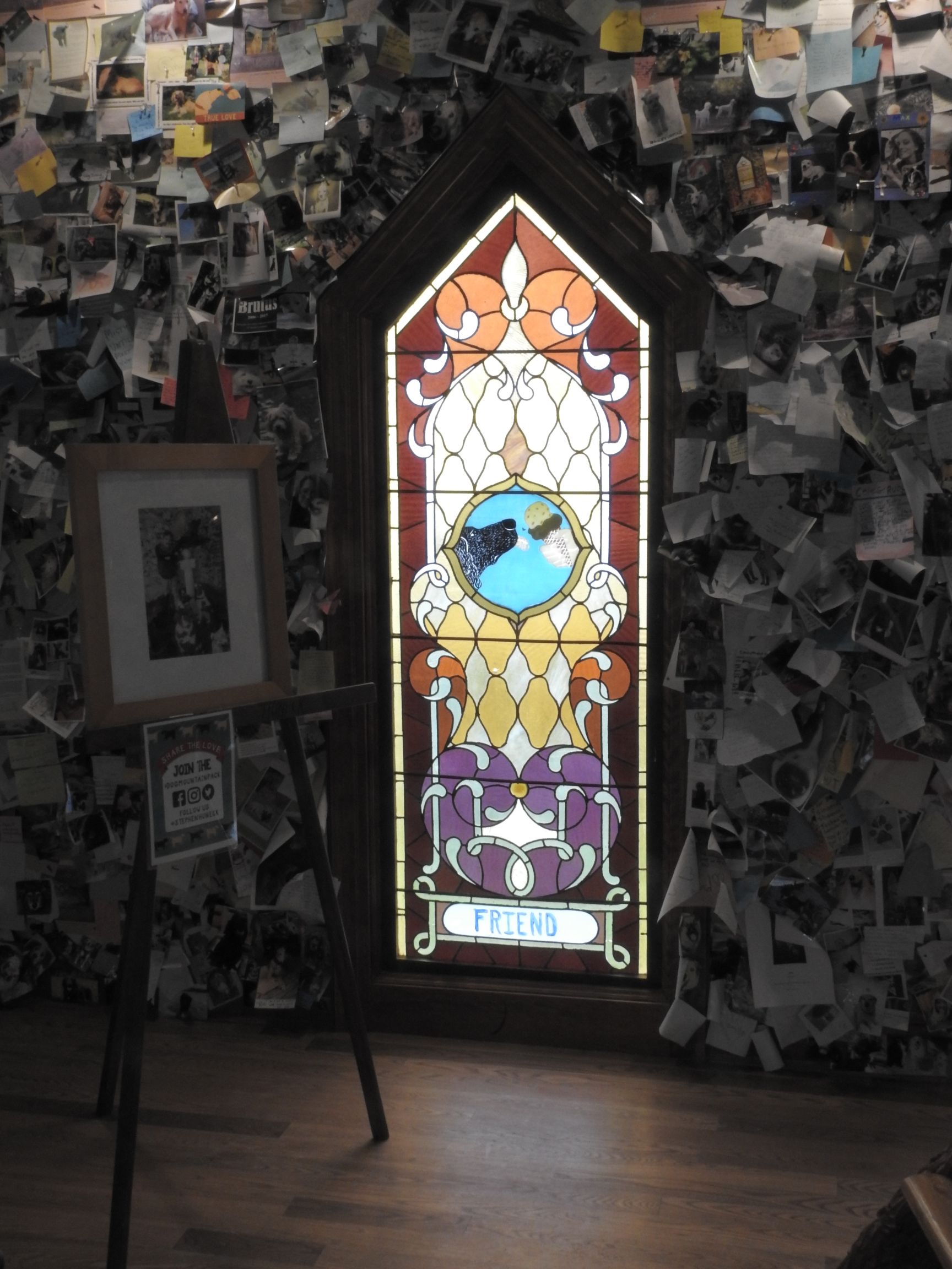

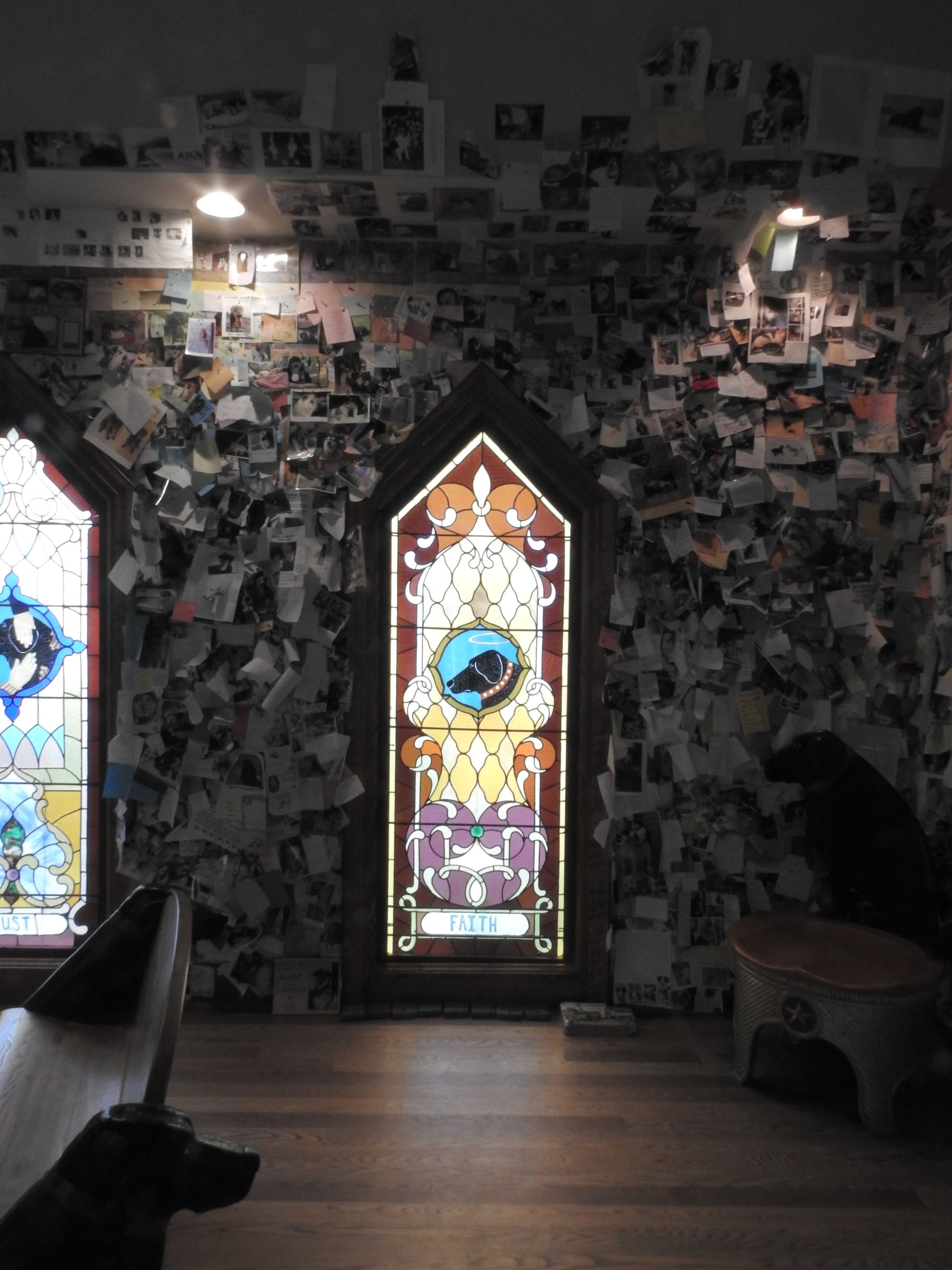
The walls of the chapel are adorned with photos of beloved dogs and notes their owners have left. Along with Sweet Potato, I was also traveling with the memories of three other dogs. Fonzi, the dog I shared with my brothers. Wylie, the first to become my dog. And Maxtla, the first dog Amy and I got together.
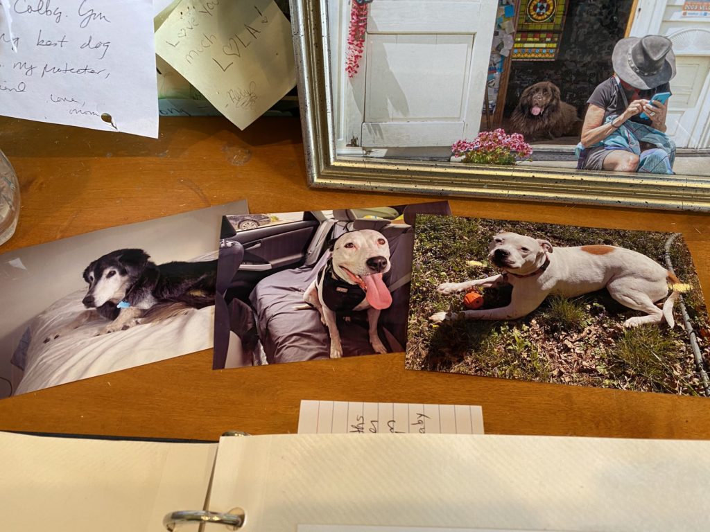
I have no photos of Fonzi, but I left photos of Wylie and Maxtla, plus one of Sweet Potato to be added to the collection.
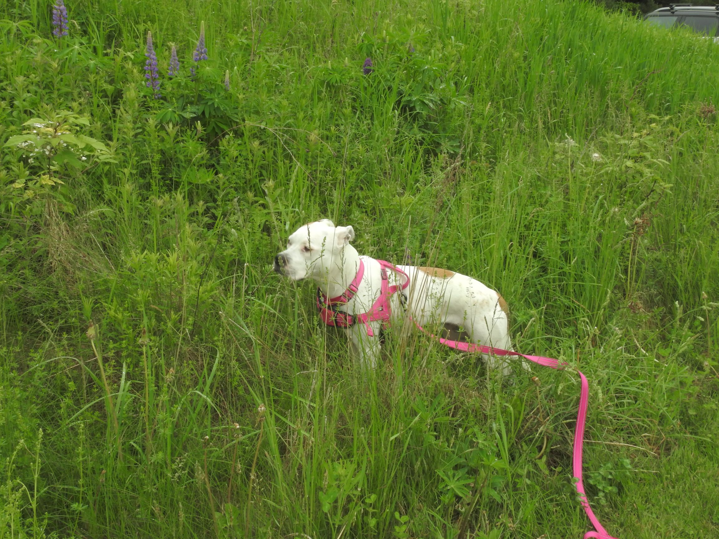
After our visit to the Dog Chapel, Sweet Potato and I headed out on the hiking trails. I allowed Sweet Potato to choose our adventure.
There are three main trails running around the property. The blue trail is the easiest one, and is the most directly accessible. We completed about 95% of that trail before coming across one of the entrances to the yellow loop.
The yellow trail looks to be about twice as long as the blue one, it’s an intermediate difficulty trail. As soon as we encountered it, Sweet Potato immediately turned and off we went.
About halfway around the yellow trail, there’s a turn where you can go onto the red trail. This is the most difficult of the three and goes over the top of the hill, connecting two parts of the yellow trail. I thank Sweet Potato for her consideration in choosing to stay on the yellow trail.
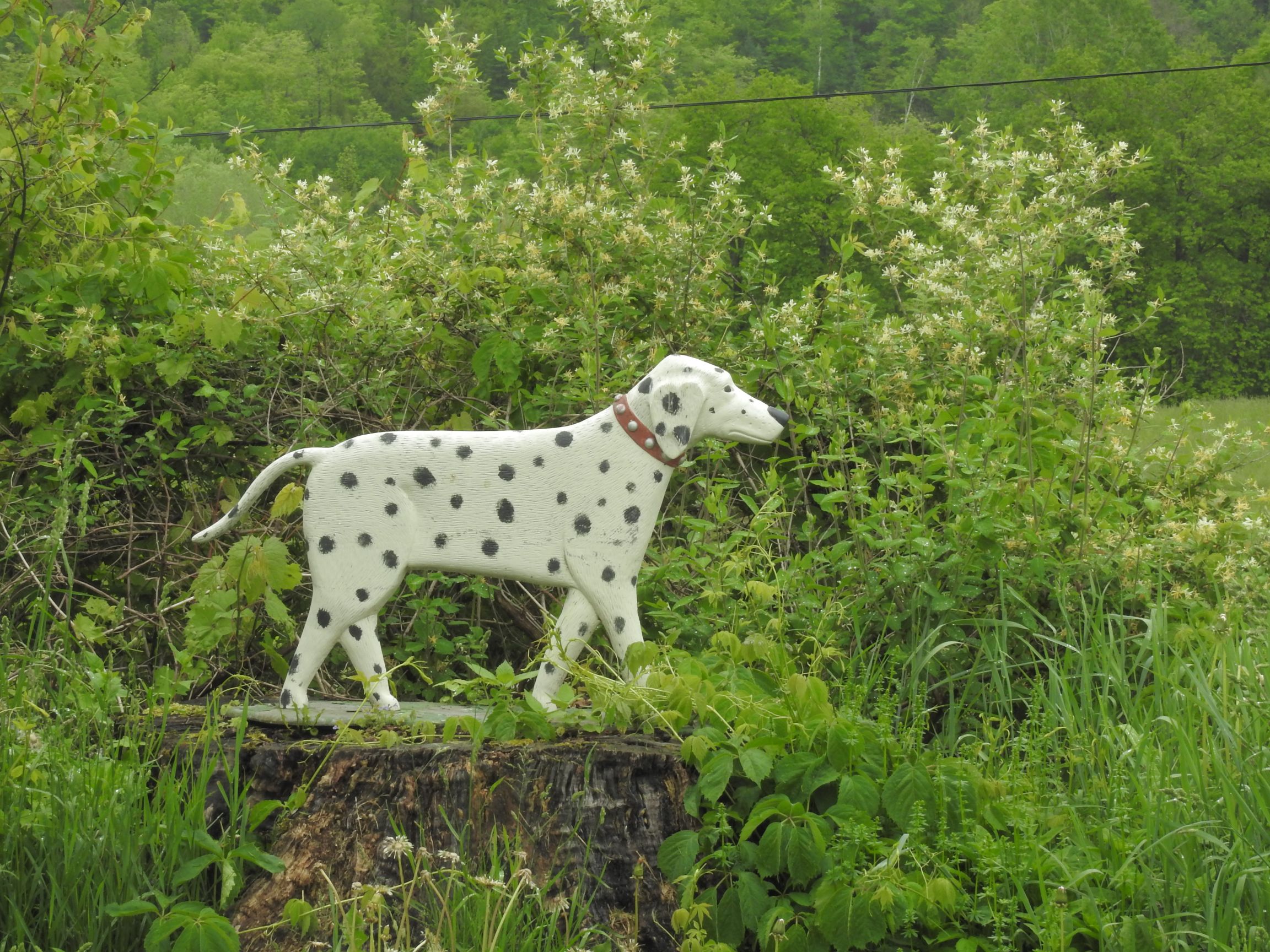
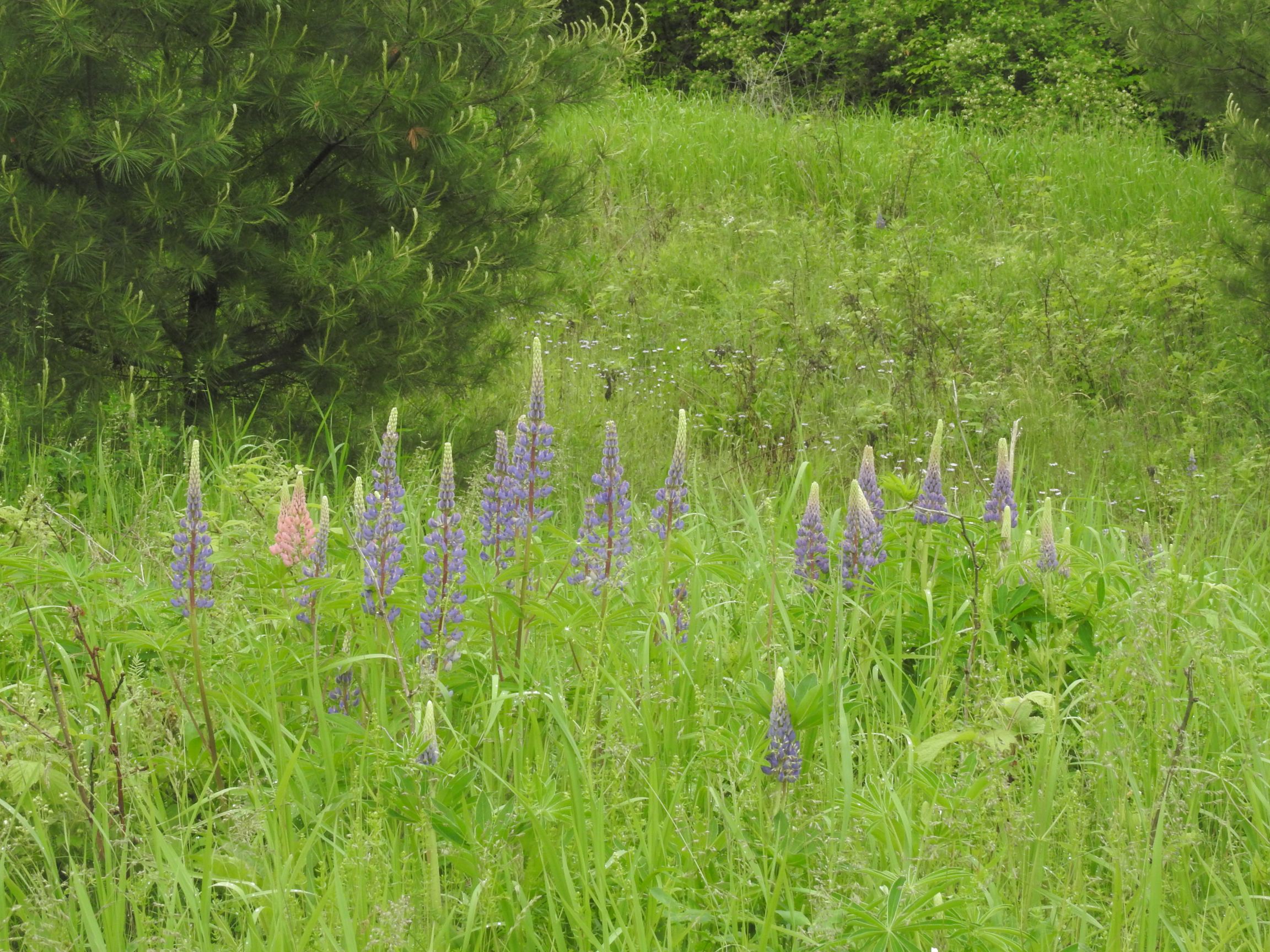
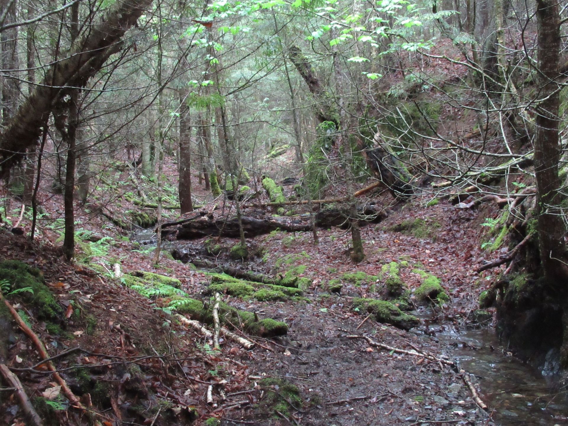

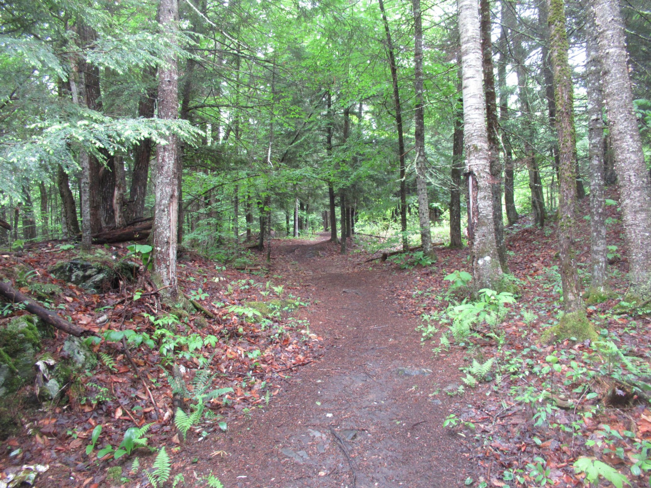
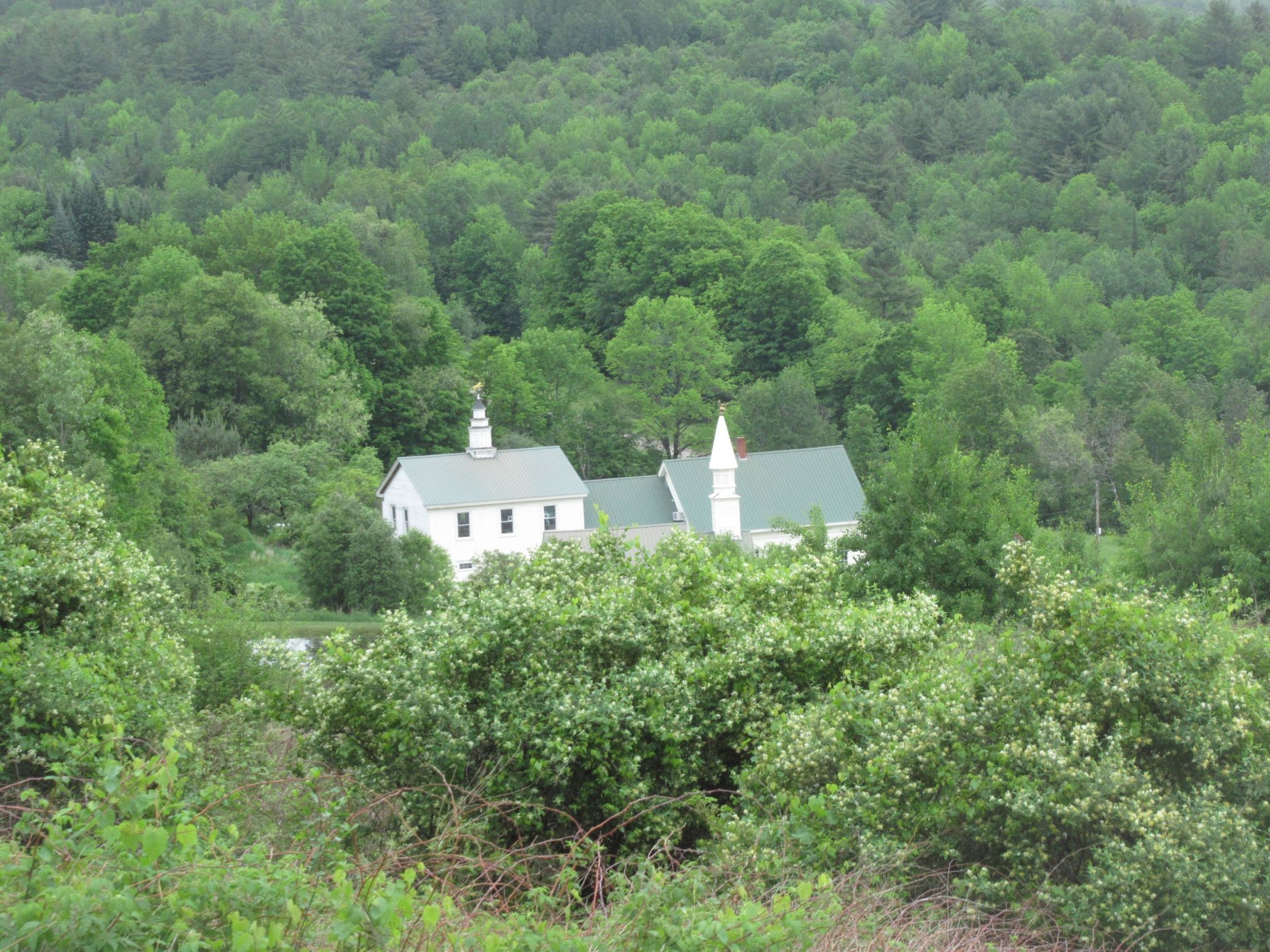
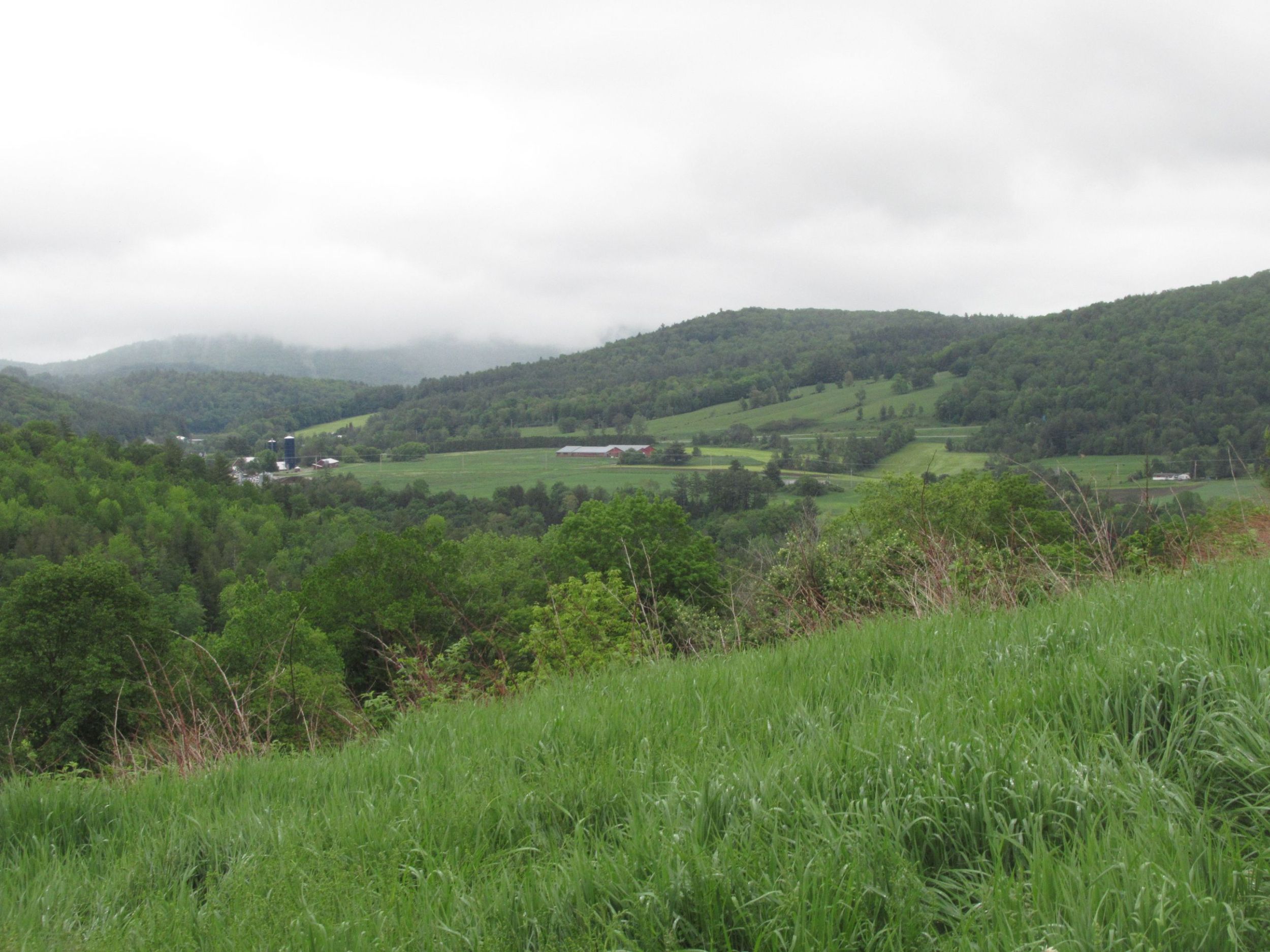

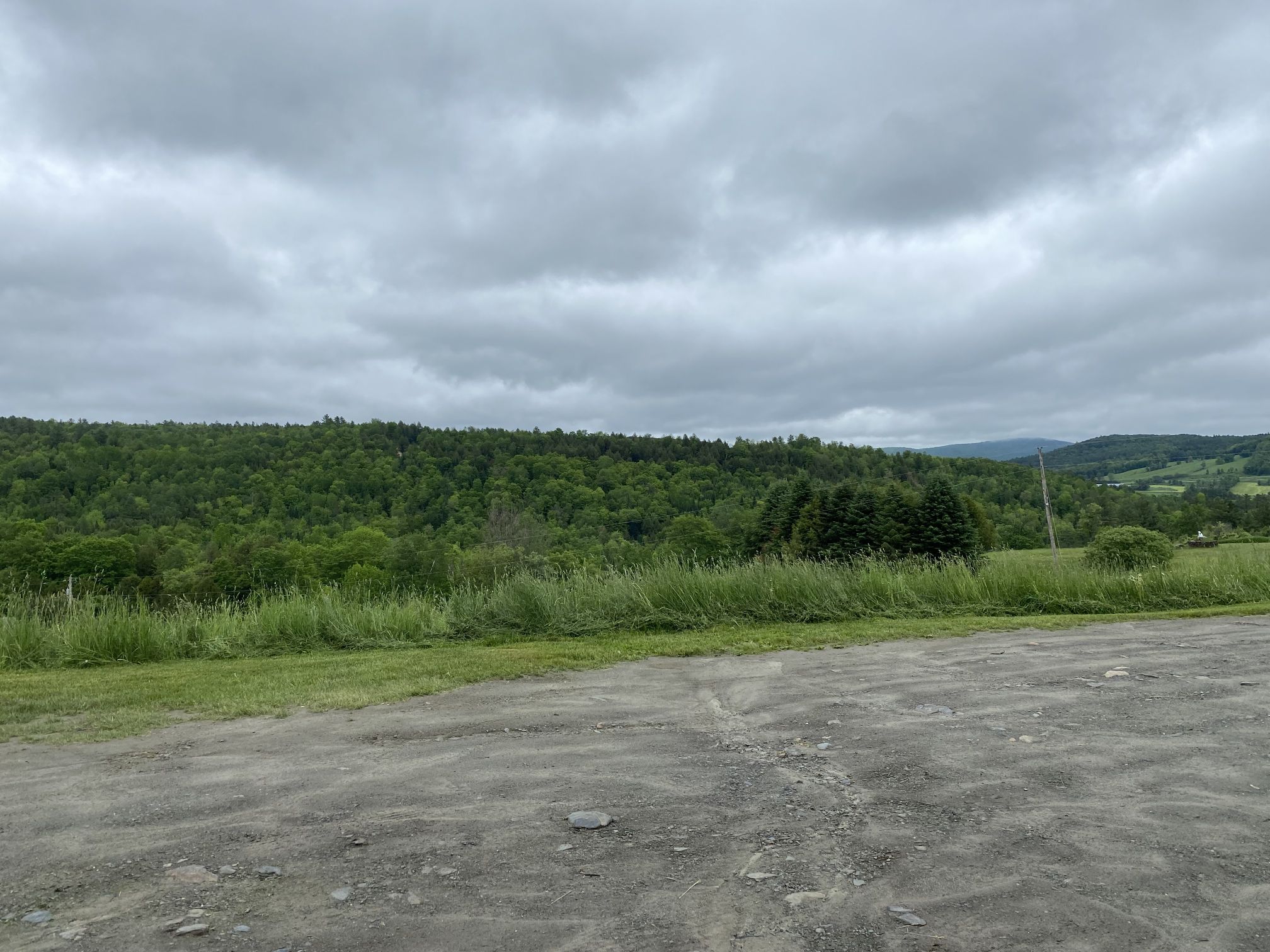
A recurring motif in the art and on the spires atop the various buildings was the presence of an “angel dog,” reminding viewers of our lost friends.
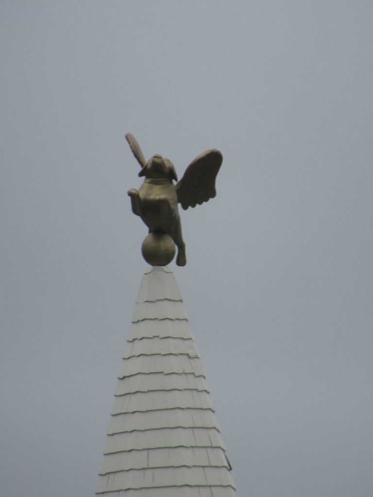
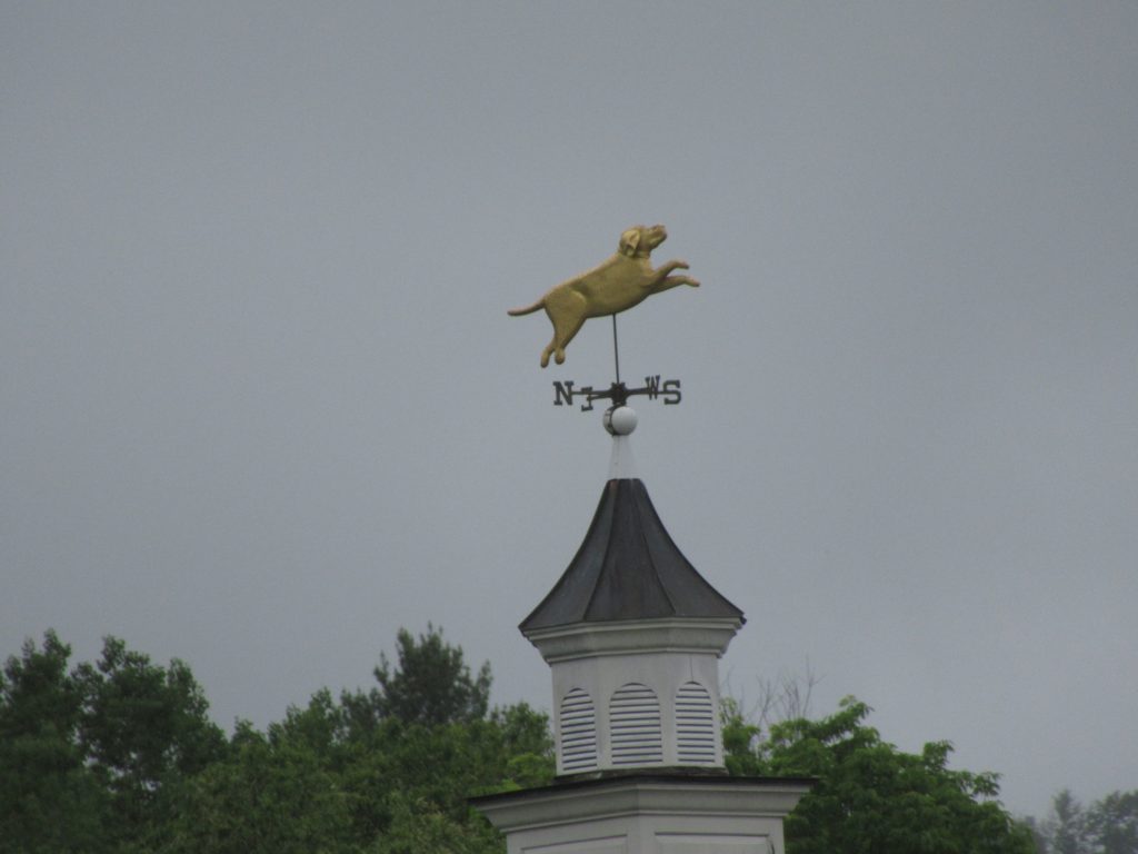
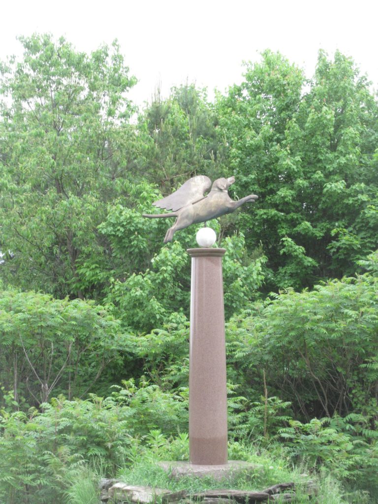
After spending the morning and the first part of the afternoon visiting Dog Mountain (and making a couple purchase at the gallery), Sweet Potato and I headed out to explore more of area.
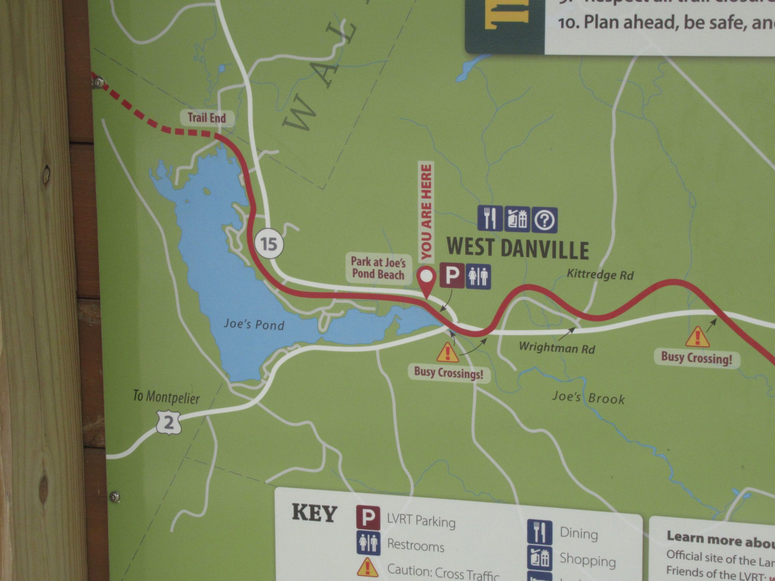
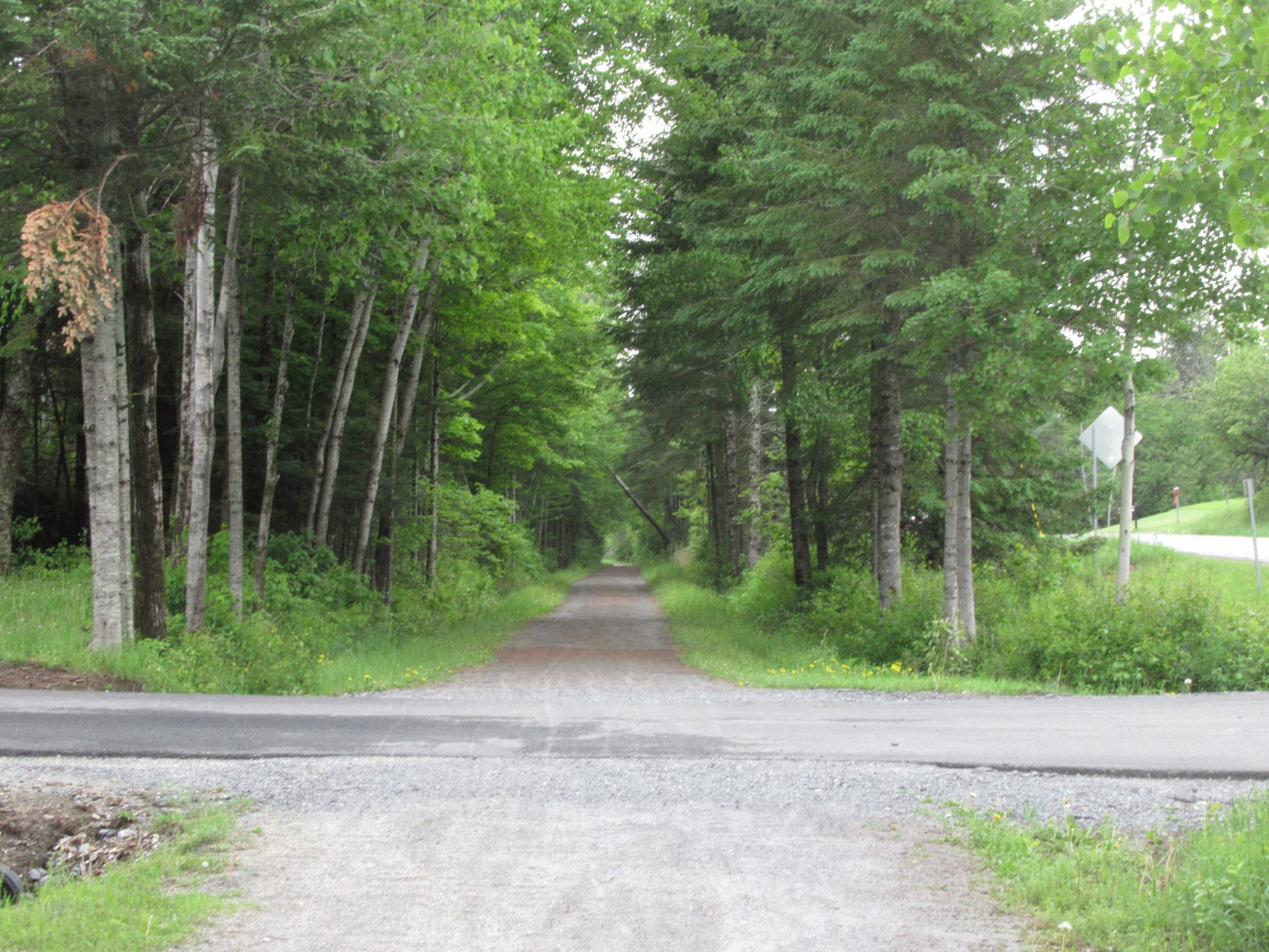
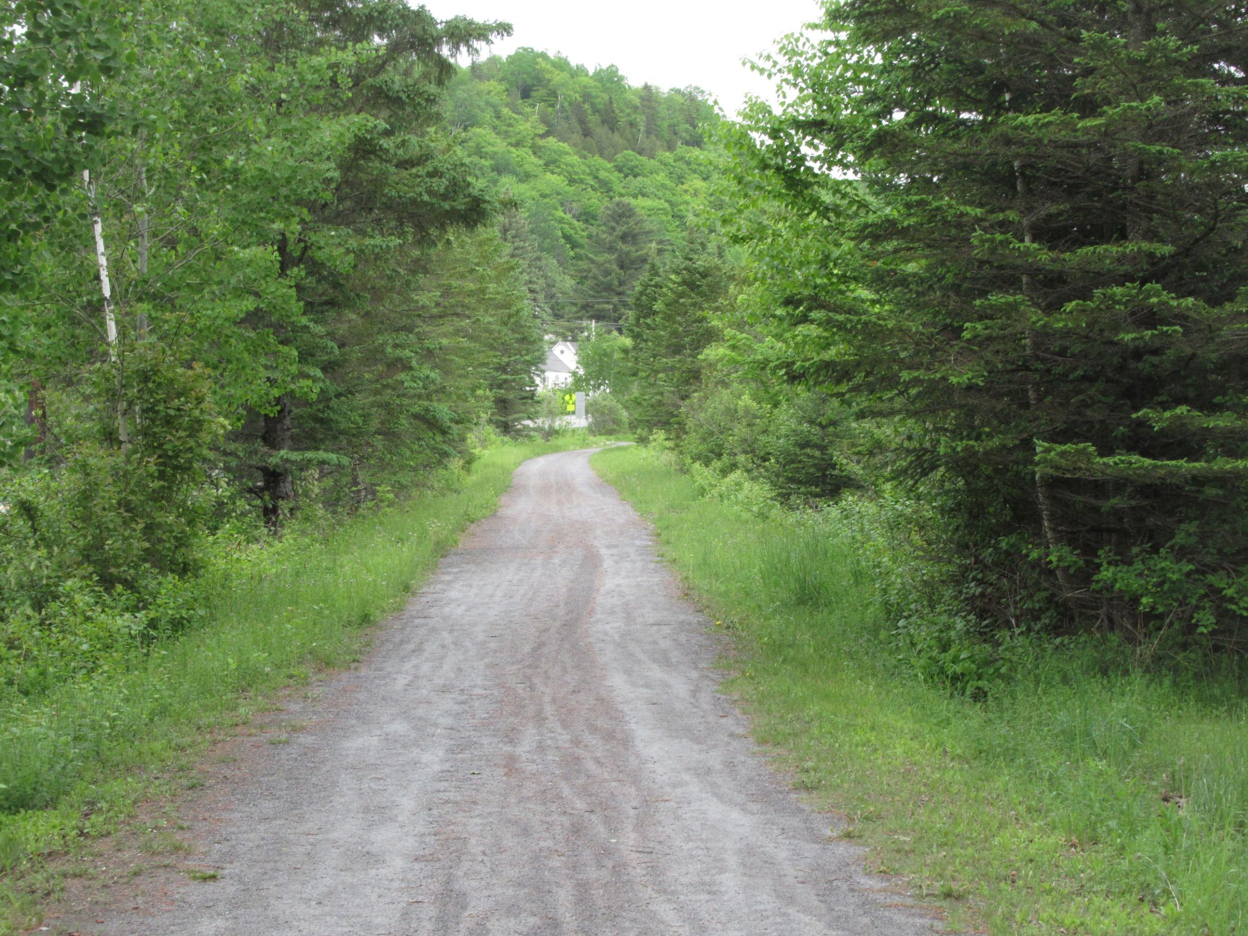
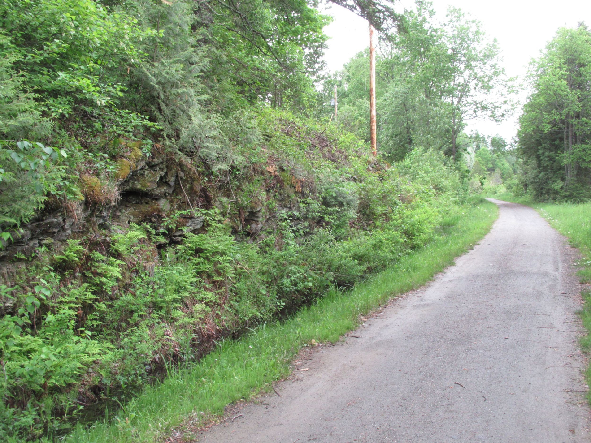
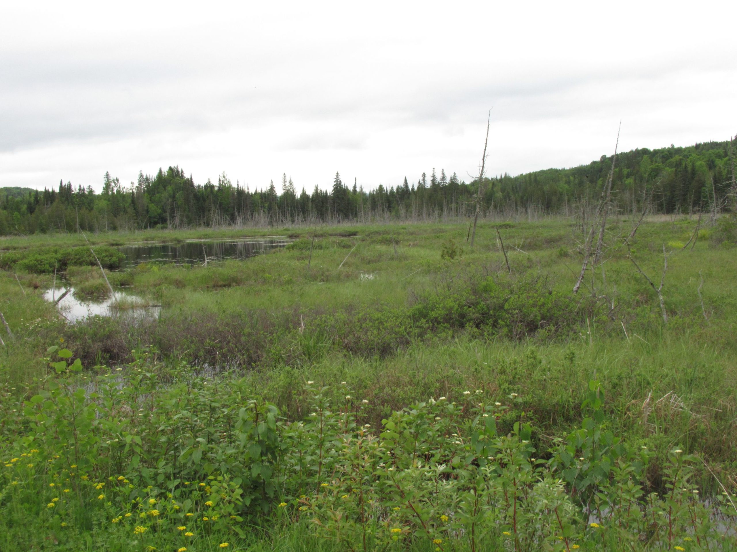
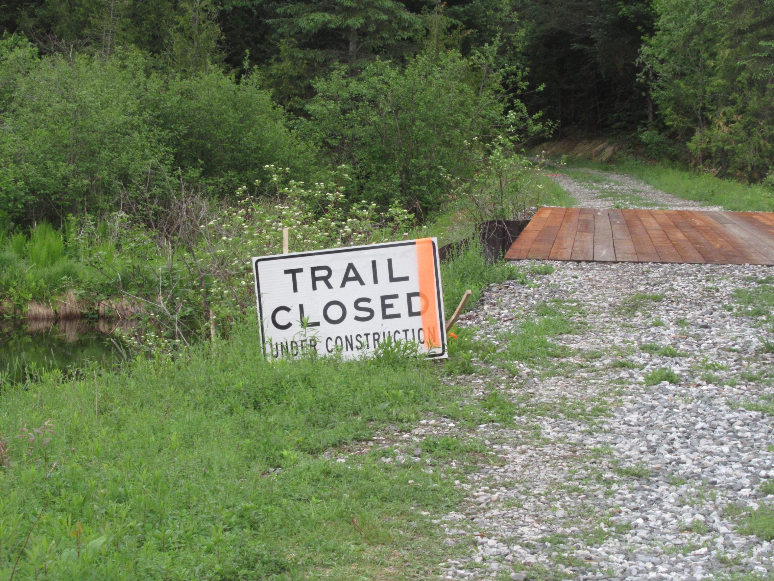
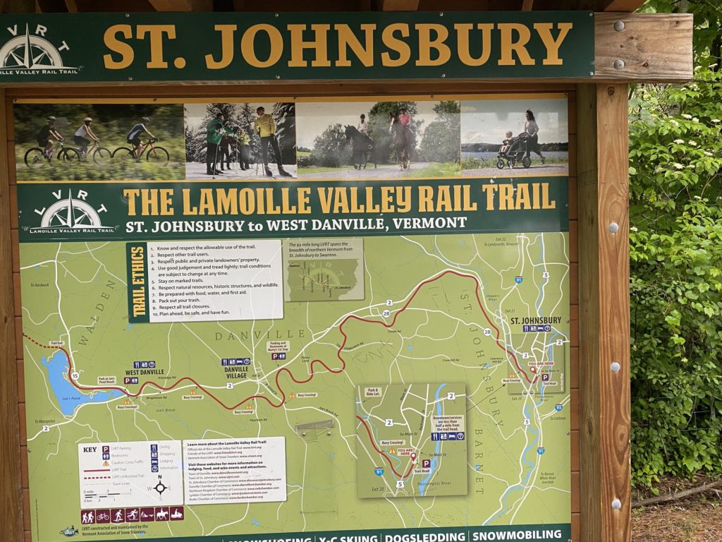
On Wednesday, we hiked a few miles on the Lamoille Valley Rail Trail, starting in St. Johnsbury and heading toward Danville. So today, we headed toward Danville to explore the other end of the trail. (Eventually it will cross the state, but for now, it only runs 15 miles between those two towns.)
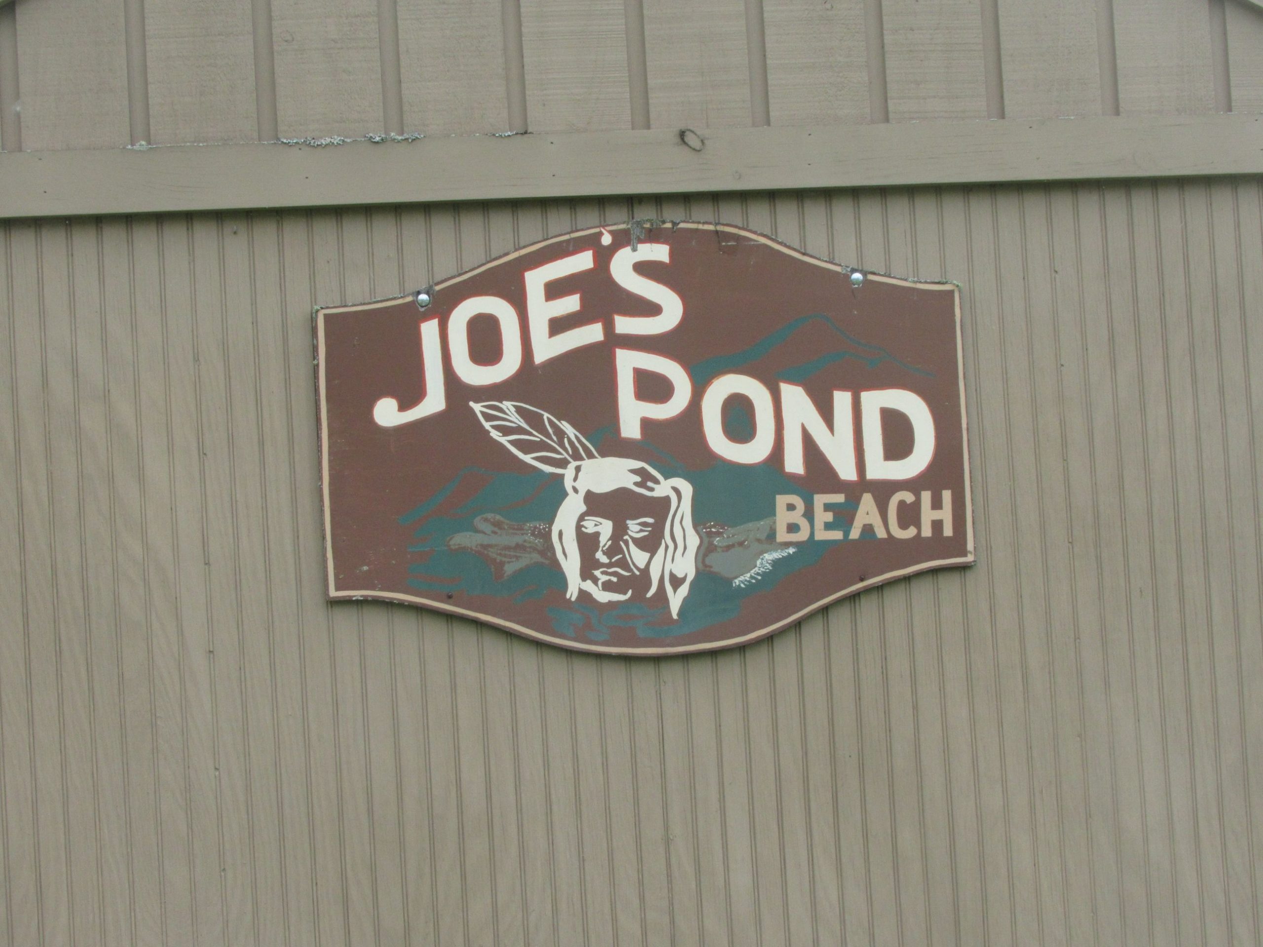
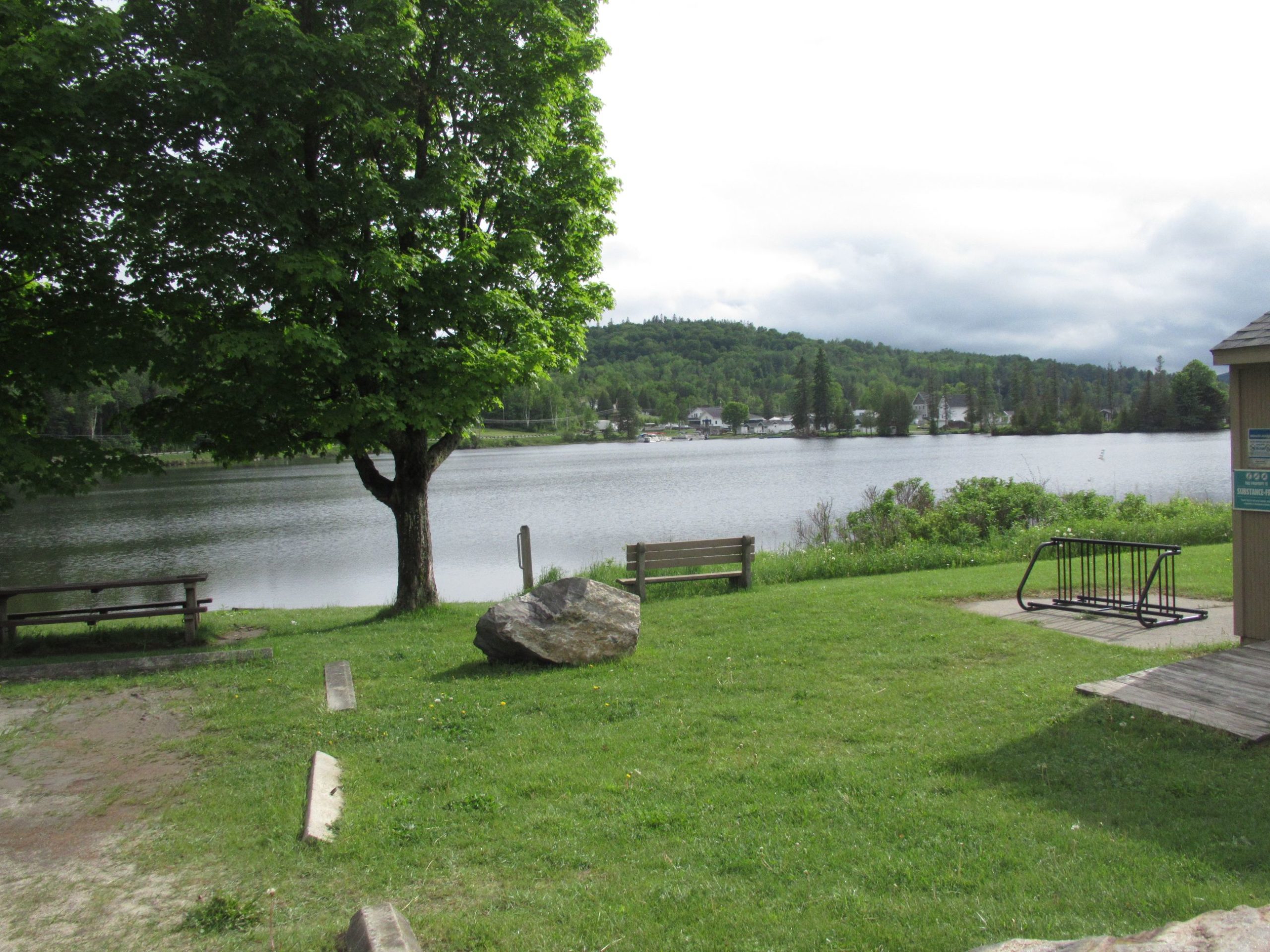
We found a parking spot at the Joe’s Pond Beach and as luck would have it, found the end of the trail right about the same time we were ready to head back to the hotel for the evening.

Dog Mountain Road Trip – Day Three (June 1, 2022)
Not having any specific schedule for the day, we slept in a bit today. Breakfast was at the hotel (Sweet Potato scored a couple pieces of bacon) and were on the road to Vermont at 10:30.
The drive was largely uneventful, with rain most of the way.
At quarter after two in the afternoon, we arrived in Vermont.
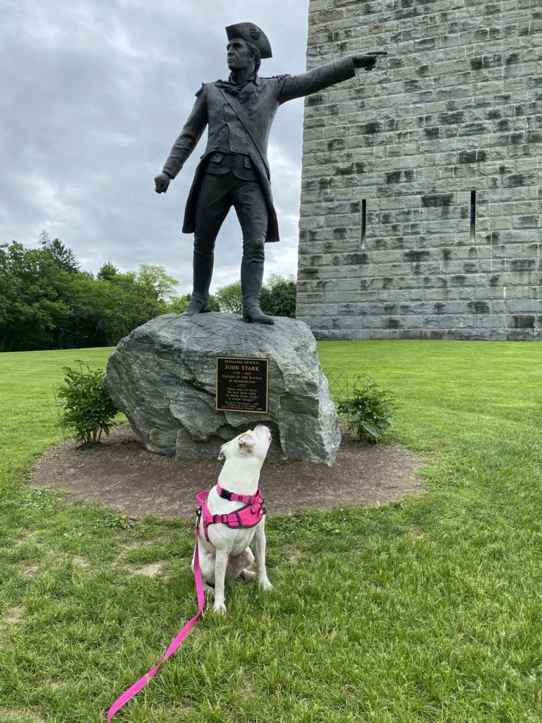
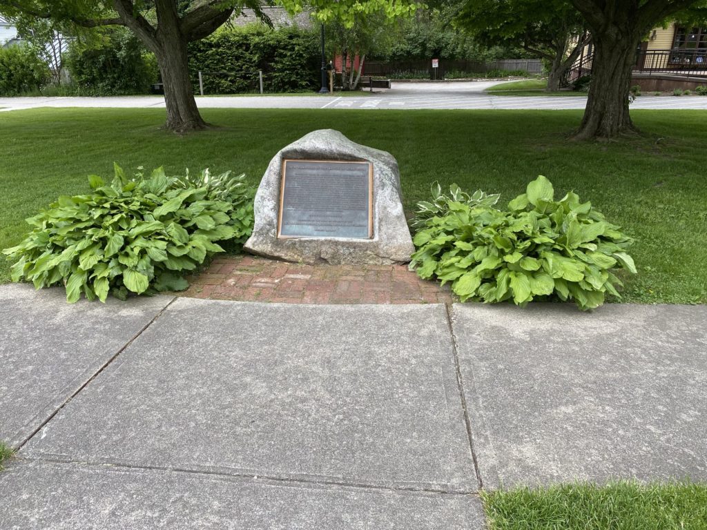
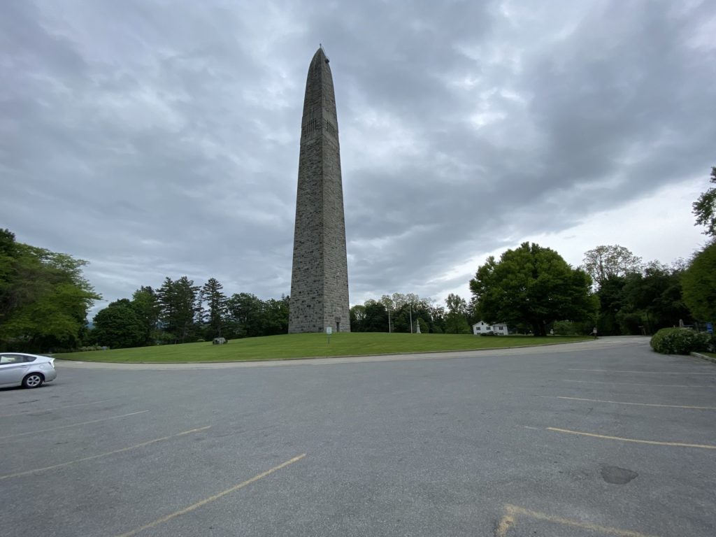
The first stop in Vermont was in Bennington. I didn’t really have a strong reason for stopping here, except that my brother’s family used to live here, but no longer knowing their former address, I settled for sending them a photo of the Bennington Battle Monument.
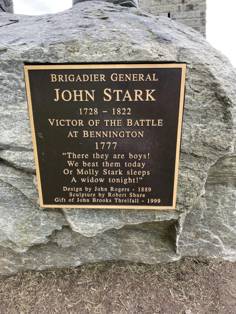
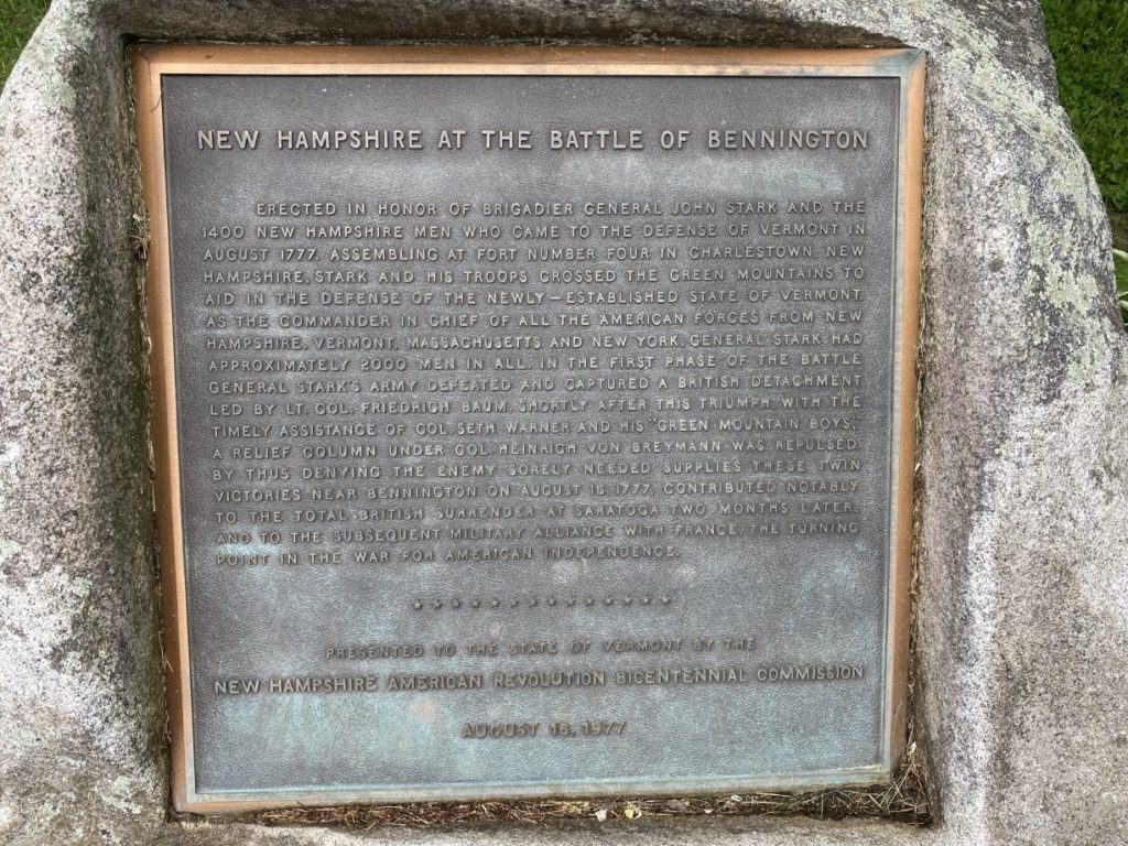
The monument is in honor of the 1400 men from New Hampshire, led by General John Stark, who came to Bennington in August of 1777 to help defend the newly created state of Vermont. As you can see, Sweet Potato was overwhelmed with awe and preferred to look up at General Stark’s statue rather than pose for any silly photo op.
We arrived in St. Johnsbury around quarter to six. The temperature was close to 30 degrees cooler than Binghamton just a day earlier, and given the clouds and chance of rain, the decision was made to hold off on going to Dog Mountain until Thursday.
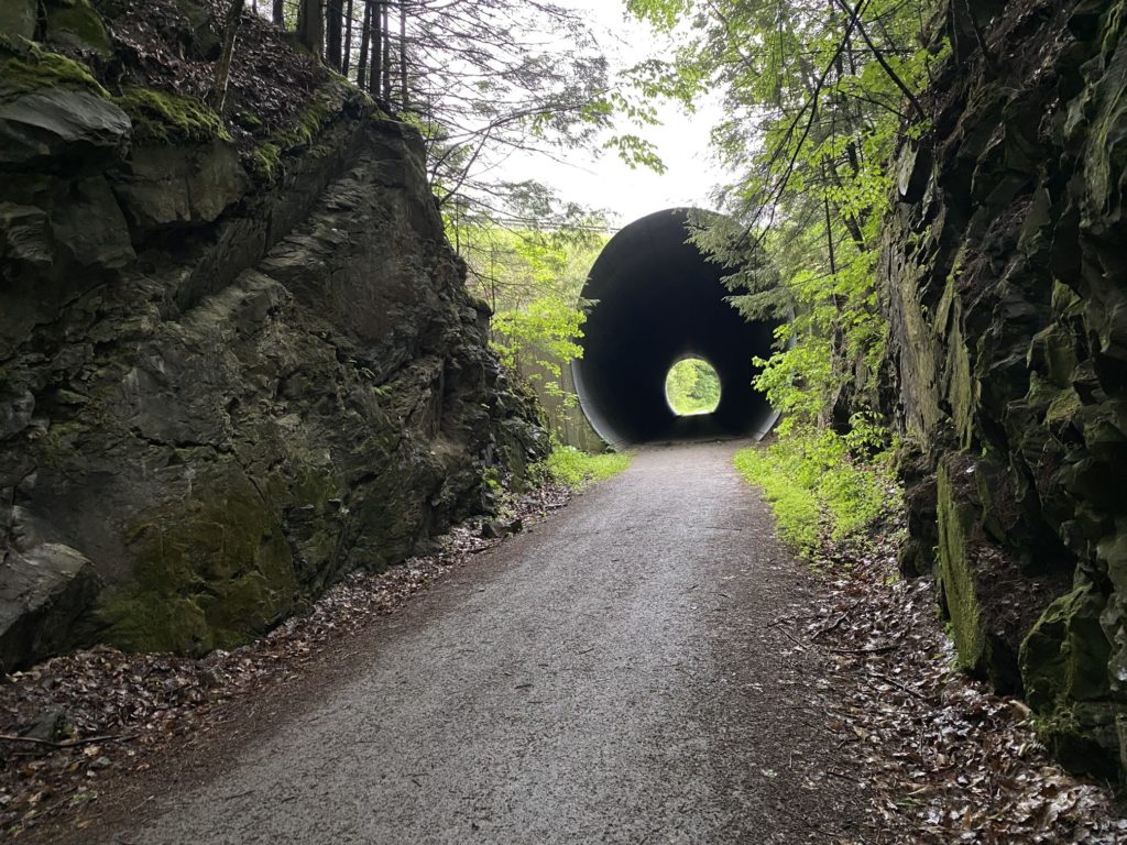
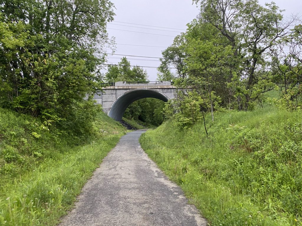
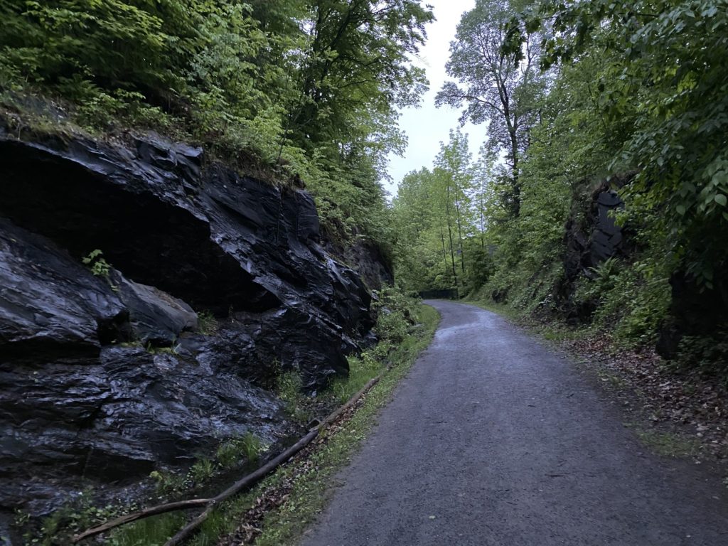
Between the late start and long day in the car, Sweet Potato wasn’t ready for dinner yet, and honestly, neither was I. So based on another local recommendation, we went to the trailhead for the Lamoille Valley Rail Trail. I’m told this will eventually cross the state, but for now it only goes from St. Johnsbury to West Danville. We only really had time to go in a mile and a half, perhaps two, but it was pretty.
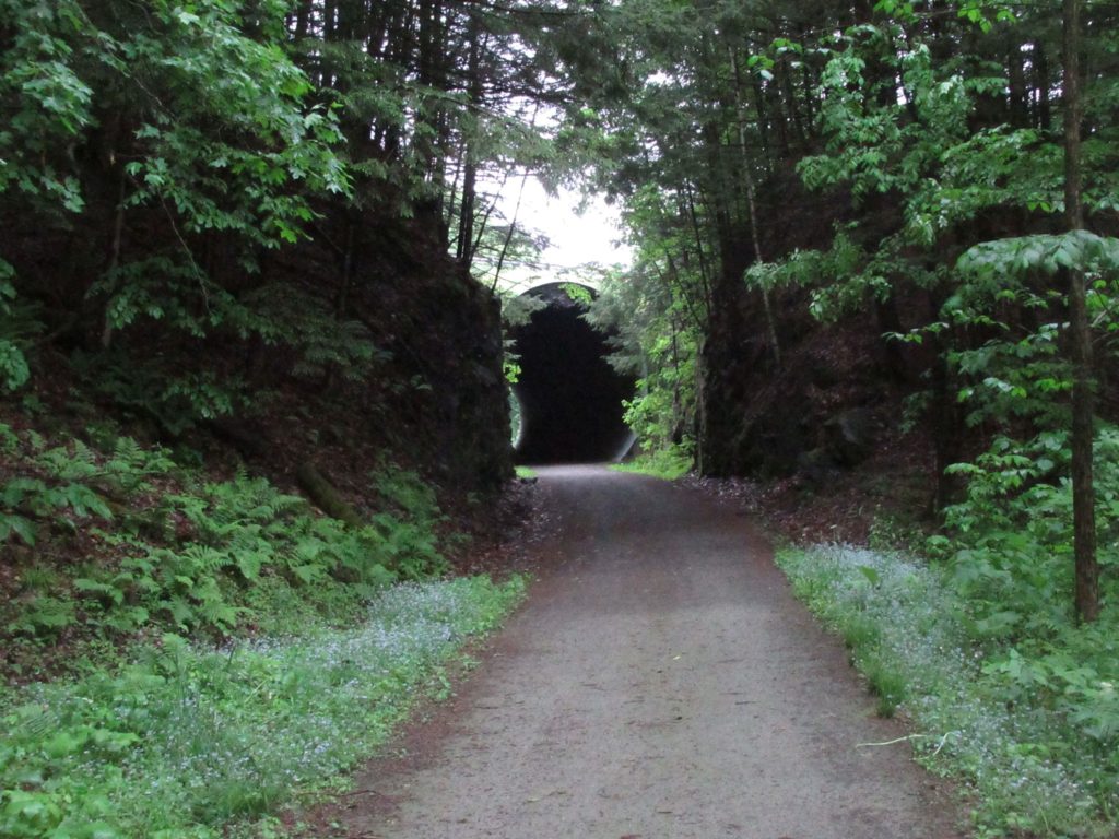
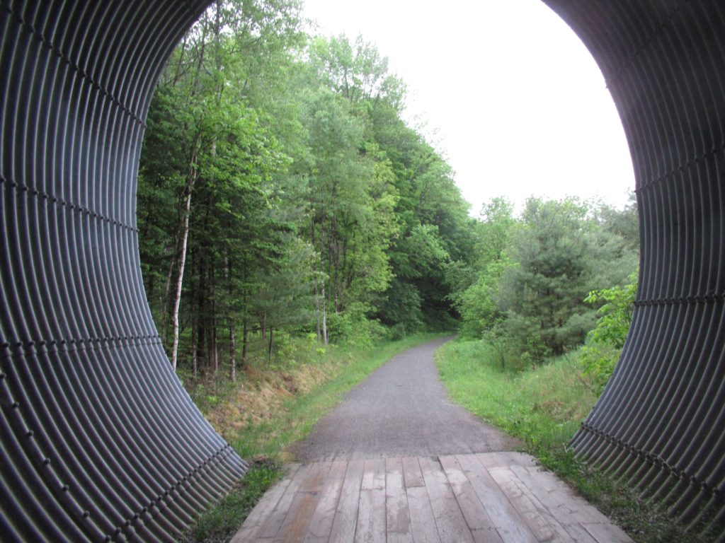
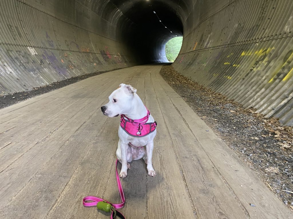
As with the Westmoreland Heritage Trail on Tuesday, this was built on the land from a former railroad right of way. From the width of the tunnels, as well as the clear spaces, my assumption is this was a single track with some sort of schedule so trains would only travel one direction at a time.
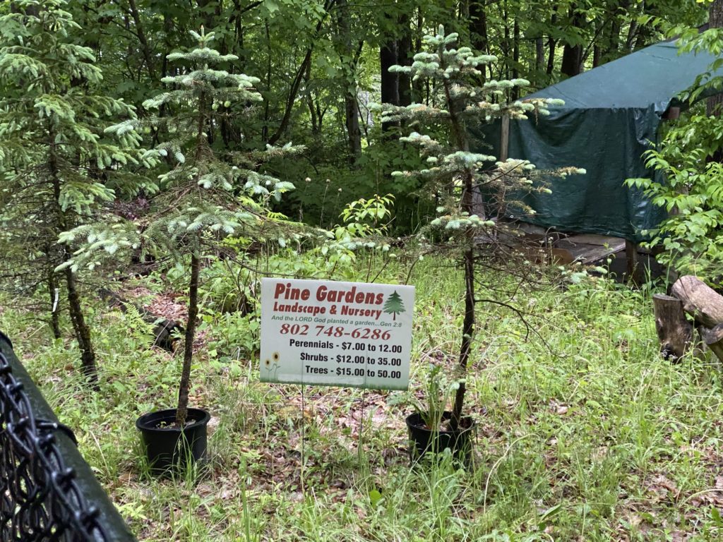
One of the things I found interesting was that the rail trail ran right up against people’s backyards. In these cases, there was usually a pathway cut into the hillside to make it easier to get to the trail. One enterprising home owner used the location to advertise a landscape business
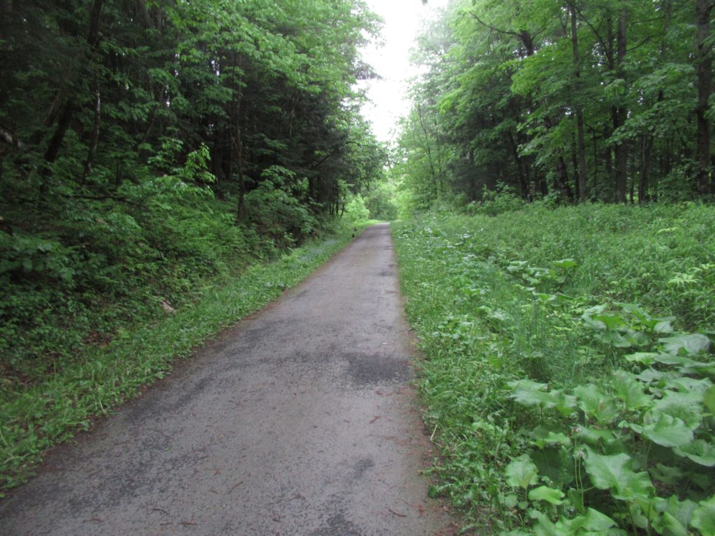
There was a lot of lush plant growth along the trail
